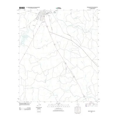
2013 Map of Brady South
USGS Topo · Published 2013About this map
The southern residential and rural fringes of Brady unfold across this McCulloch County survey, marking the transition from city streets to the cattle-ranching landscape of Central Texas. Significant water infrastructure is evident in the Soil Conservation Service Site 1 Reservoir and Shropshire Lake, which support the region's agricultural demands. The street network on the southern edge of town, including S China St and S Bradley St, gives way to historic thoroughfares like Old Mason Rd and Old Calf Creek Rd that strike out into the countryside. The terrain is defined by a series of drainages, including Staten Cr and Flat Br, all eventually feeding toward the San Saba River at the sheet's southern boundary. This map documents the intersection of modern municipal growth and the enduring livestock and water-management patterns of the Texas Hill Country.
Find a feature on this map
42 named features on this map. Tap any name to fly to it.
Don’t see what you’re looking for? This feature index may not catch every label — zoom into the map to look around manually.
Map Details
Editions of this 2013 Brady South Map
This is the sole edition of this map. No revisions or reprints were ever made.
Other maps of this area
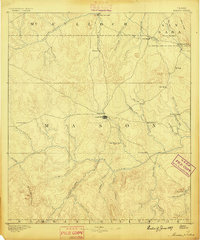
1887 · Mason
USGS Topo · 1:125,000
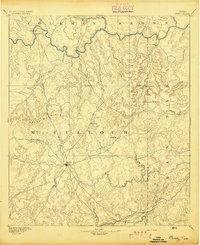
1894 · Brady
USGS Topo · 1:125,000
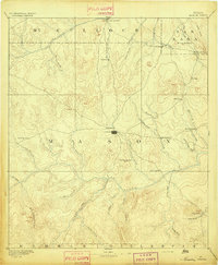
1894 · Mason
USGS Topo · 1:125,000
1954 · Brownwood
USGS Topo · 1:250,000
1954 · Llano
USGS Topo · 1:250,000
1955 · Llano
USGS Topo · 1:250,000
1956 · Llano
USGS Topo · 1:250,000
1960 · West Sweden
USGS Topo · 1:24,000
1960 · Brady North
USGS Topo · 1:24,000
1963 · Spy Rock
USGS Topo · 1:24,000