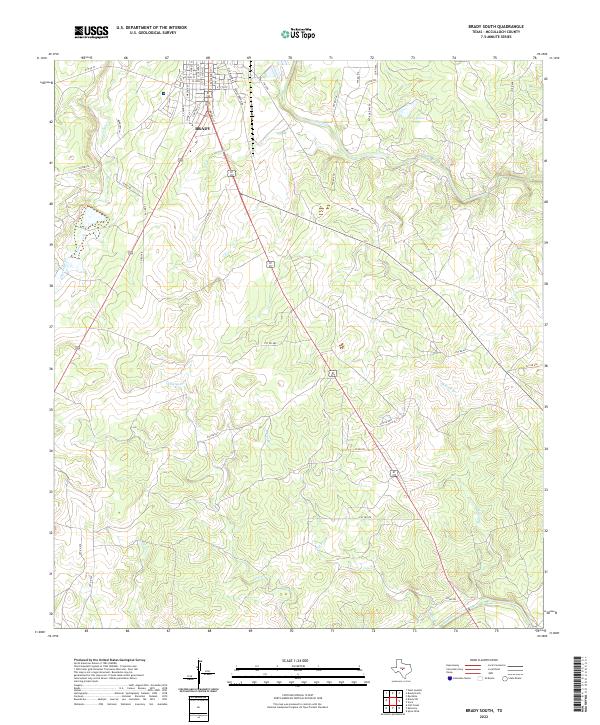
2022 Map of Brady South
USGS Topo · Published 2022About this map
The southern outskirts of Brady anchor this topographic survey, where the established grid of residential streets like S Bridge St and S Blackburn St gives way to the open ranch land of McCulloch County. The landscape is defined by a dense network of seasonal drainages, including Post Oak Cr and Brady Creek, which flow toward the eastern expanse of Shropshire Lake. The southern portion of the map follows the gentle descent toward the San Saba River, which carves a path through the limestone-inflected terrain at the quadrangle's lower boundary.
Find a feature on this map
49 named features on this map. Tap any name to fly to it.
Don’t see what you’re looking for? This feature index may not catch every label — zoom into the map to look around manually.
Map Details
Editions of this 2022 Brady South Map
This is the sole edition of this map. No revisions or reprints were ever made.
Other maps of this area

1887 · Mason
USGS Topo · 1:125,000

1894 · Brady
USGS Topo · 1:125,000

1894 · Mason
USGS Topo · 1:125,000

1954 · Brownwood
USGS Topo · 1:250,000

1954 · Llano
USGS Topo · 1:250,000

1955 · Llano
USGS Topo · 1:250,000

1956 · Llano
USGS Topo · 1:250,000

1960 · West Sweden
USGS Topo · 1:24,000

1960 · Brady North
USGS Topo · 1:24,000

1963 · Spy Rock
USGS Topo · 1:24,000