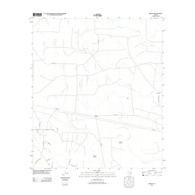
2013 Map of Bragg
USGS Topo · Published 2013About this map
Bragg serves as the central focal point of this Hardin County landscape, where the intersection of Old Bragg Rd and the local rail line at Thicket Siding defines the historical transit patterns of the region. The area is heavily defined by its complex drainage network, with naming conventions that hint at the difficulties of the terrain, such as Bad Luck Cr and the aptly named Dunnie Burnout and Old Hat Burnout.
Find a feature on this map
32 named features on this map. Tap any name to fly to it.
Don’t see what you’re looking for? This feature index may not catch every label — zoom into the map to look around manually.
Map Details
Editions of this 2013 Bragg Map
This is the sole edition of this map. No revisions or reprints were ever made.
Other maps of this area

1943 · Liberty
USGS Topo · 1:125,000

1954 · Beaumont
USGS Topo · 1:250,000

1955 · Saratoga
USGS Topo · 1:62,500

1955 · Kountze
USGS Topo · 1:62,500

1957 · Beaumont
USGS Topo · 1:250,000

1958 · Segno
USGS Topo · 1:62,500

1958 · Warren
USGS Topo · 1:62,500

1984 · Segno
USGS Topo · 1:24,000

1984 · Beaumont
USGS Topo · 1:250,000

1984 · Jacks Creek South
USGS Topo · 1:24,000