
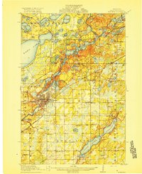
1918 Map of Brainerd
USGS Topo · Published 1918About this map
The Mississippi River winds through the heart of this Crow Wing County landscape, anchoring the bustling rail hub of Brainerd. During this era of early 20th-century expansion, the city serves as a critical junction for the Northern Pacific and the Minnesota International railroads. To the north, the terrain transitions into a dense network of glacial lakes including Lake Edward, Bass Lake, and Gladstone Lake, where small settlements like Merrifield and Riverton have begun to take root alongside the timber and mining interests of the region.
Find a feature on this map
66 named features on this map. Tap any name to fly to it.
Don’t see what you’re looking for? This feature index may not catch every label — zoom into the map to look around manually.
Map Details
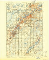
Editions of this 1918 Brainerd Map
3 editions found
Other maps of this area

1912 · Deerwood
USGS Topo · 1:62,500

1913 · Cuyuna
USGS Topo · 1:62,500

1914 · Deerwood
USGS Topo · 1:62,500

1915 · Cuyuna
USGS Topo · 1:62,500

1915 · Brainerd
USGS Topo · 1:62,500

1916 · Pillager
USGS Topo · 1:62,500

1919 · Pillager
USGS Topo · 1:62,500

1948 · Belle Prairie
USGS Topo · 1:62,500

1948 · Lastrup
USGS Topo · 1:62,500

1950 · Lastrup
USGS Topo · 1:62,500