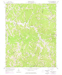
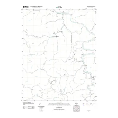
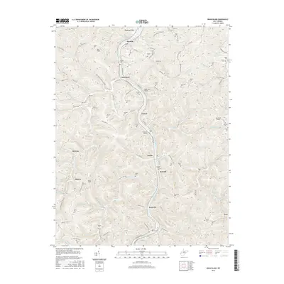
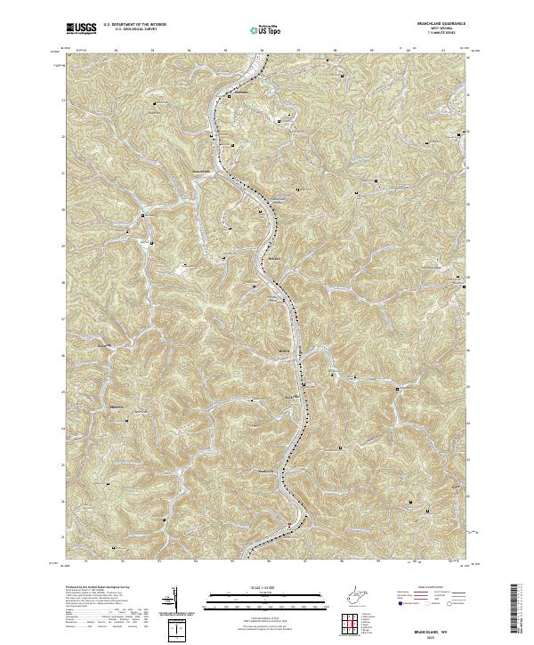
1962 Map of Branchland
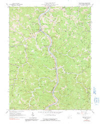
USGS Topo · Published 1991About this map
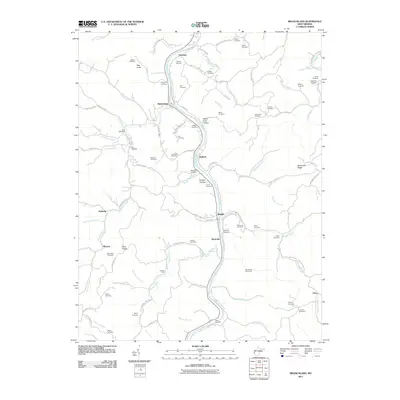
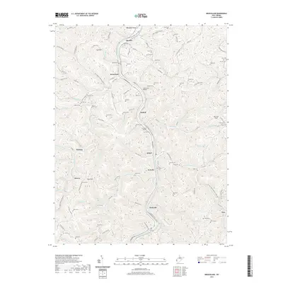
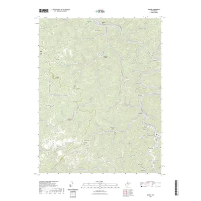
The Guyandotte River carves a deep path through the center of this terrain, serving as the primary corridor for both the Chesapeake and Ohio railroad and local settlements. In the early 1960s, the riverside communities of Branchland, Midkiff, and Sheridan functioned as small hubs for the surrounding hollows. The landscape is intensely marked by industrial and topographical features, from the numerous mines dotting the ridges to the intricate network of pipelines that traverse the hills between Trace Fork and Ninemile Creek.
Find a feature on this map
106 named features on this map. Tap any name to fly to it.
Don’t see what you’re looking for? This feature index may not catch every label — zoom into the map to look around manually.
Map Details
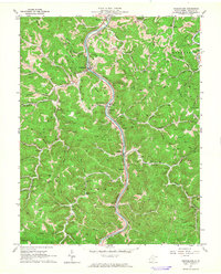
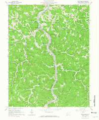
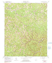
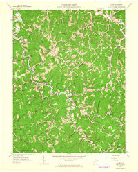
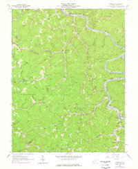
Editions of this 1962 Branchland Map
3 editions found
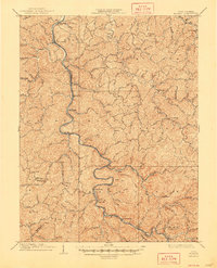
Historical Maps of Bradyville Through Time
33 maps found

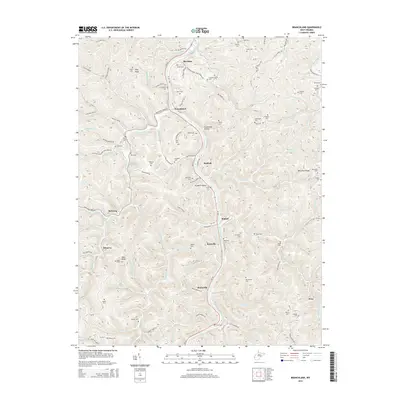
1902 Midkiff
Lincoln County, WV

1907 Midkiff
Lincoln County, WV
1909 Midkiff
Lincoln County, WV
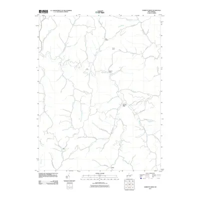
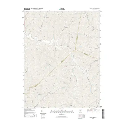
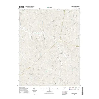
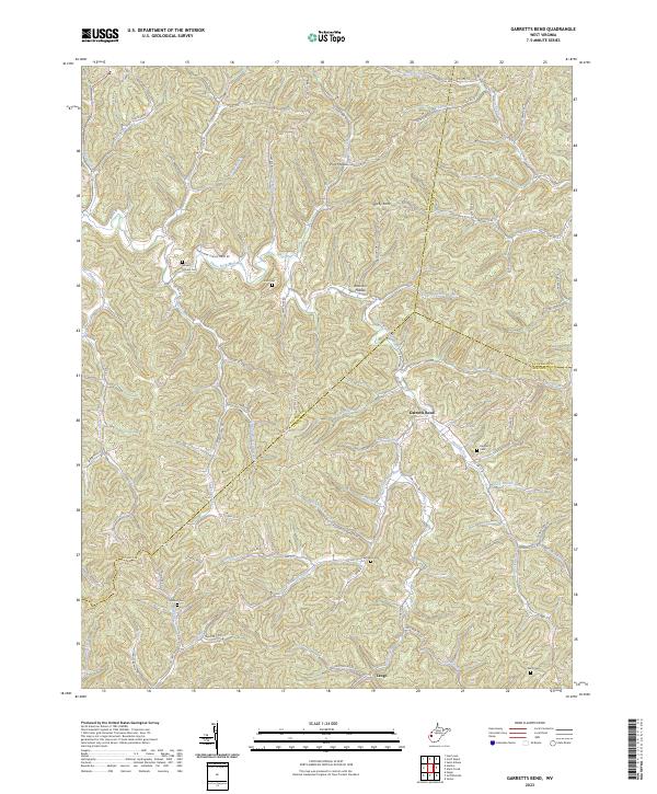
1958 Garretts Bend
Lincoln County, WV
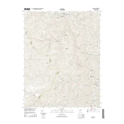
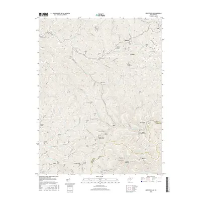
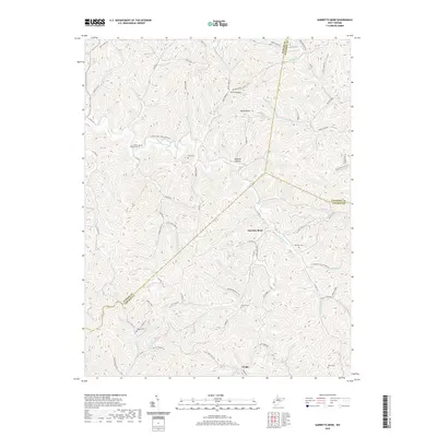
1962 Branchland
Lincoln County, WV
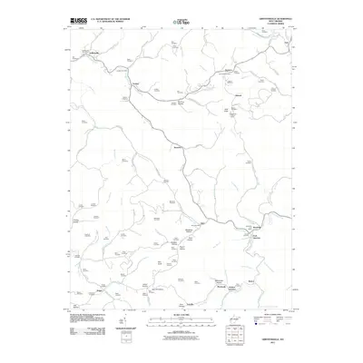
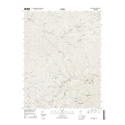
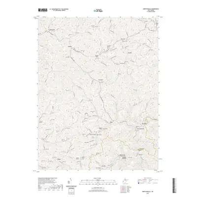
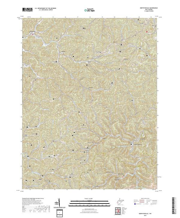
1962 Griffithsville
Lincoln County, WV
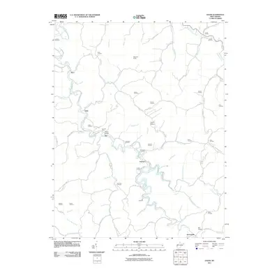
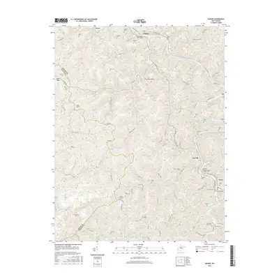
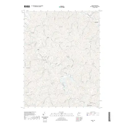
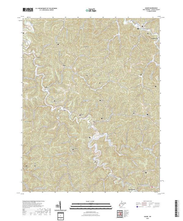
1962 Hager
Lincoln County, WV
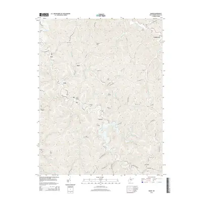
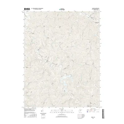
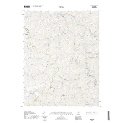
1962 Ranger
Lincoln County, WV
2011 Branchland
Lincoln County, WV
2011 Garretts Bend
Lincoln County, WV
2011 Griffithsville
Lincoln County, WV
2011 Hager
Lincoln County, WV
2011 Ranger
Lincoln County, WV
2014 Branchland
Lincoln County, WV
2014 Garretts Bend
Lincoln County, WV
2014 Griffithsville
Lincoln County, WV
2014 Hager
Lincoln County, WV
2014 Ranger
Lincoln County, WV
2016 Branchland
Lincoln County, WV
2016 Garretts Bend
Lincoln County, WV
2016 Griffithsville
Lincoln County, WV
2016 Hager
Lincoln County, WV
2016 Ranger
Lincoln County, WV
2019 Branchland
Lincoln County, WV
2019 Garretts Bend
Lincoln County, WV
2019 Griffithsville
Lincoln County, WV
2019 Hager
Lincoln County, WV
2019 Ranger
Lincoln County, WV
2023 Branchland
Lincoln County, WV
2023 Garretts Bend
Lincoln County, WV
2023 Griffithsville
Lincoln County, WV
2023 Hager
Lincoln County, WV
2023 Ranger
Lincoln County, WV