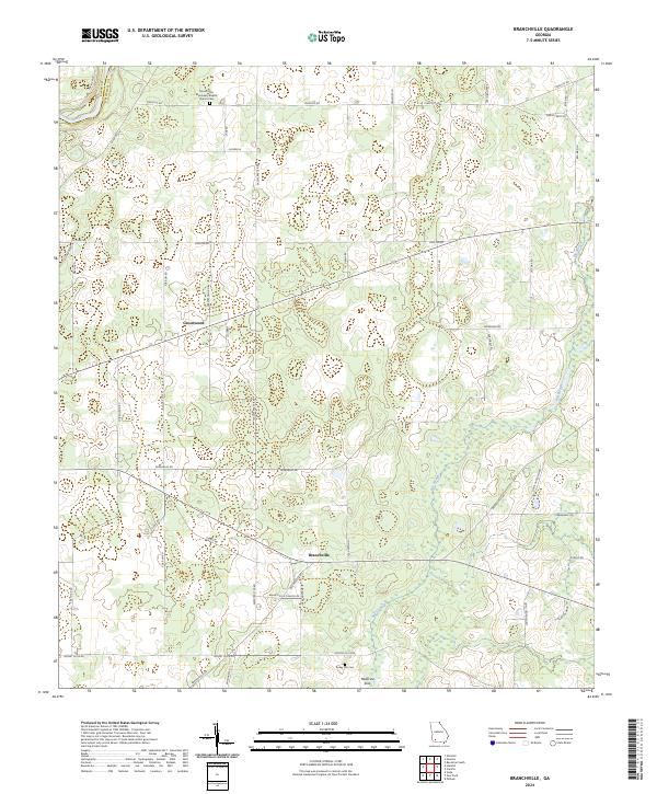
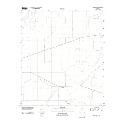
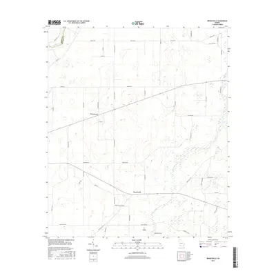
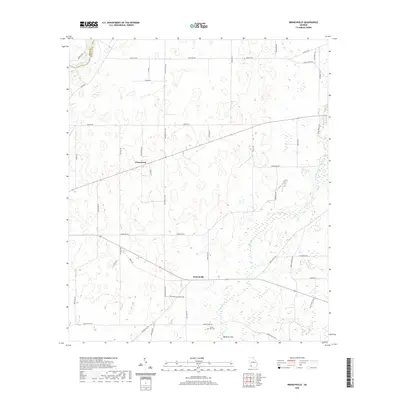
2024 Map of Branchville
USGS Topo · Published 2024About this map
The Flint River defines the western edge of this Mitchell County landscape, where the boundary between Baker County and Mitchell County follows its winding course. The area is characterized by a network of rural roads named for local families and agricultural landmarks, such as Kirbo Ln and Silas Cochran Ln. The small settlement of Greenwood and the community center of Branchville anchor the central portion of the map, connected by State Route 65. Genealogy and local history are preserved at the Mount Zion Missionary Baptist Church Cem and the Turkey Pen Cem to the south. A unique geological feature, Medicine Sink, highlights the drainage patterns of this coastal plain region, where small ponds and depressions are common throughout the terrain.
Find a feature on this map
35 named features on this map. Tap any name to fly to it.
Don’t see what you’re looking for? This feature index may not catch every label — zoom into the map to look around manually.
Map Details
Editions of this 2024 Branchville Map
This is the sole edition of this map. No revisions or reprints were ever made.
Historical Maps of Branchville Through Time
18 maps found
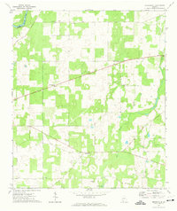
1971 Branchville
Mitchell County, GA
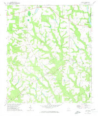
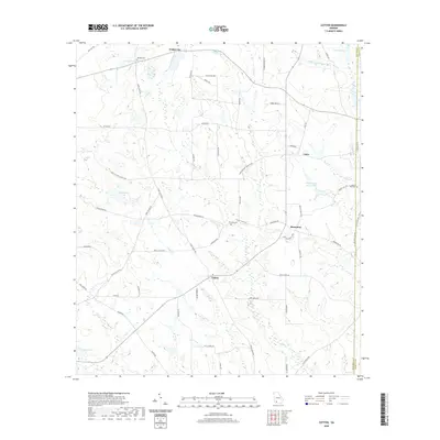
1971 Cotton
Mitchell County, GA
1974 Baconton South
Mitchell County, GA
2011 Baconton South
Mitchell County, GA
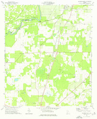
2011 Branchville
Mitchell County, GA
2011 Cotton
Mitchell County, GA
2014 Baconton South
Mitchell County, GA
2014 Branchville
Mitchell County, GA
2014 Cotton
Mitchell County, GA
2017 Baconton South
Mitchell County, GA
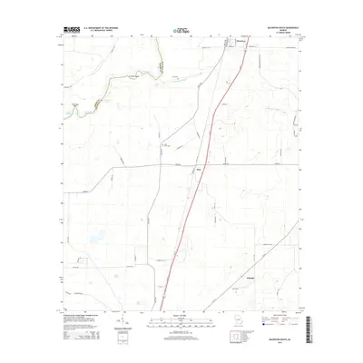
2017 Branchville
Mitchell County, GA
2017 Cotton
Mitchell County, GA
2020 Baconton South
Mitchell County, GA
2020 Branchville
Mitchell County, GA
2020 Cotton
Mitchell County, GA
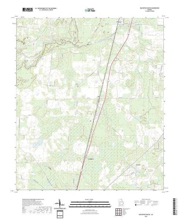
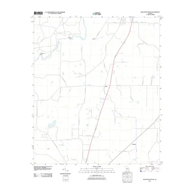
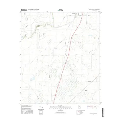
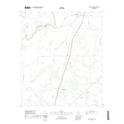
2024 Baconton South
Mitchell County, GA
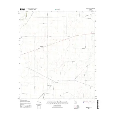
2024 Branchville
Mitchell County, GA
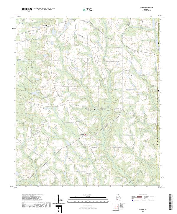
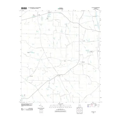
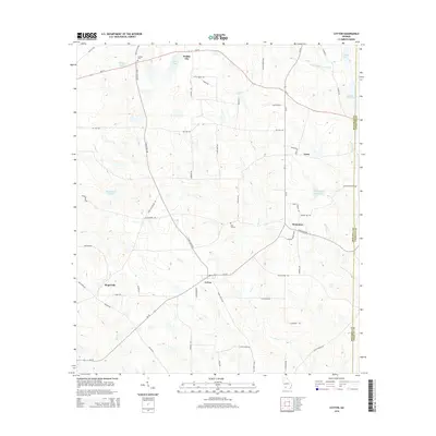
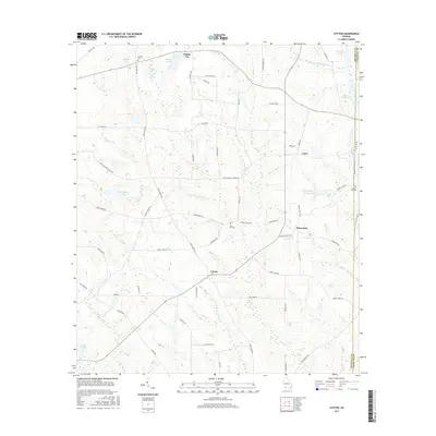
2024 Cotton
Mitchell County, GA