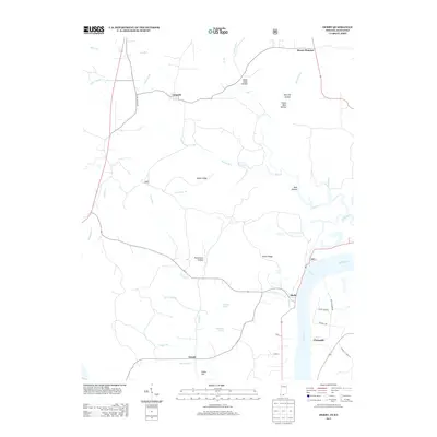
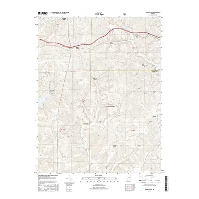
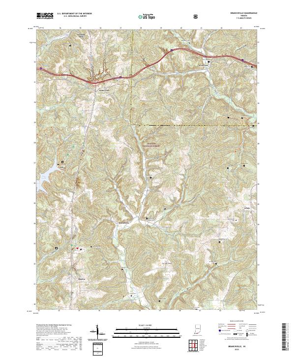
1958 Map of Branchville
USGS Topo · Published 1981About this map
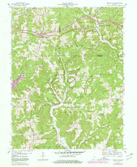
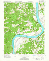
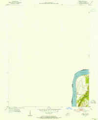
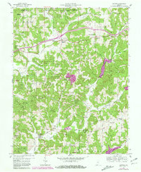
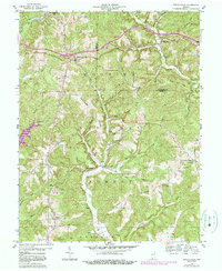
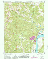
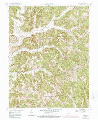
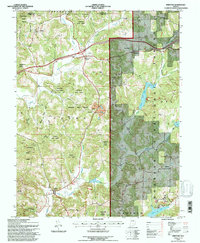
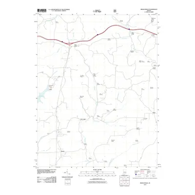
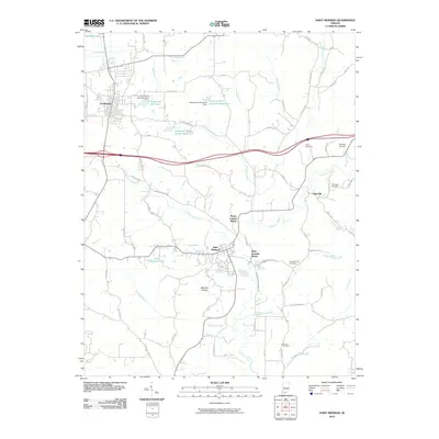
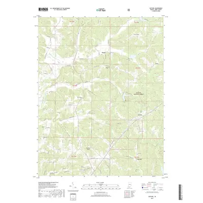
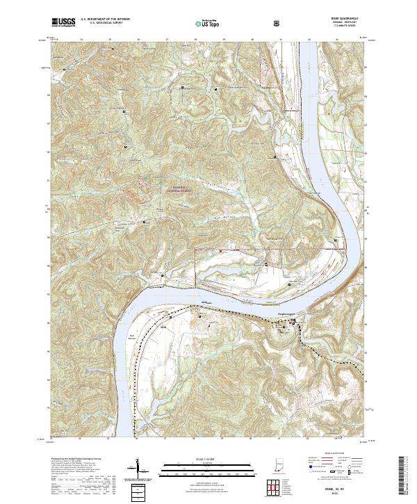
Hoosier National Forest dominates this landscape, showing a deeply carved topography of hollows and ridges in southern Indiana. The 1958 field survey reveals a distribution of rural settlements like Branchville and Saint Croix, where the community life is anchored by several family and church burial grounds including Luxenburger Cem and Rickenbaugh Cem. The geography is defined by a dense network of watercourses, most notably Oil Creek, which meanders through the central terrain between German Ridge and Doan Ridge. Evidence of mid-century infrastructure and rural education is visible at the Township High Sch, while the West Fork Lookout Tower stands as a sentinel on McKenzie Ridge. This edition also includes purple revision markings from 1978, illustrating the development of the highway system and modern roads that began to bypass older hamlet centers such as Doolittle Mills.
Find a feature on this map
56 named features on this map. Tap any name to fly to it.
Don’t see what you’re looking for? This feature index may not catch every label — zoom into the map to look around manually.
Map Details
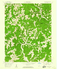
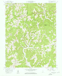
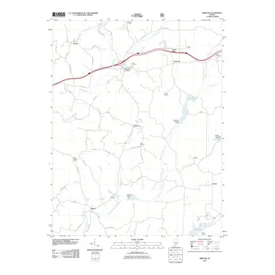
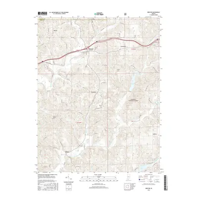
Editions of this 1958 Branchville Map
4 editions found
Historical Maps of Celina Through Time
43 maps found
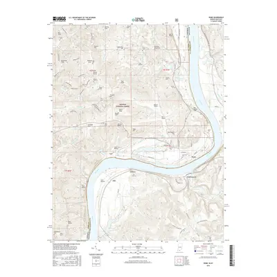
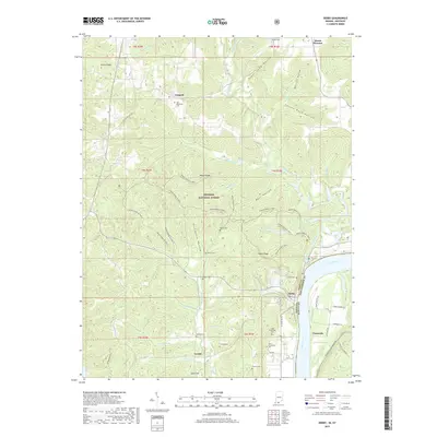
1953 Rome
Perry County, IN
1954 Derby
Perry County, IN
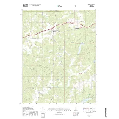
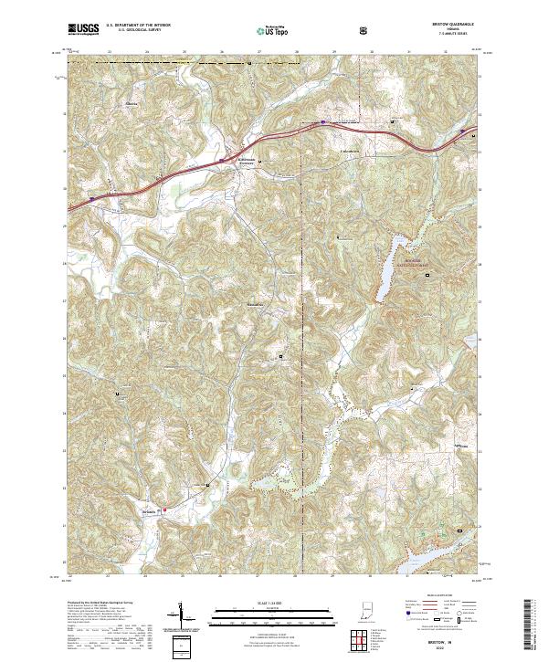
1957 Bristow
Perry County, IN
1958 Branchville
Perry County, IN
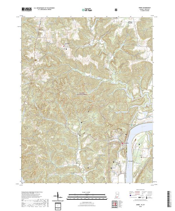
1958 Derby
Perry County, IN
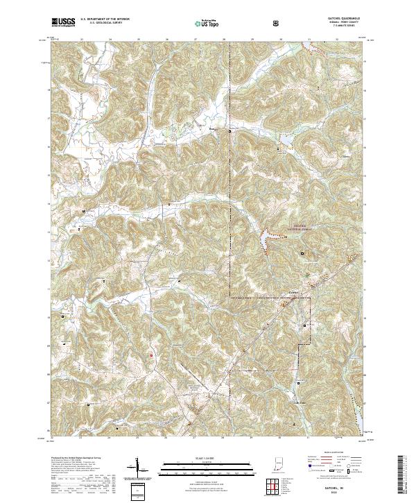
1958 Gatchel
Perry County, IN
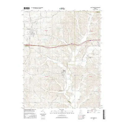
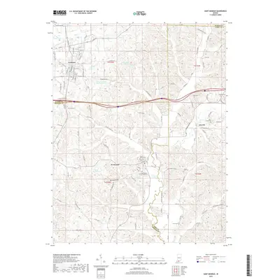
1960 Saint Meinrad
Perry County, IN
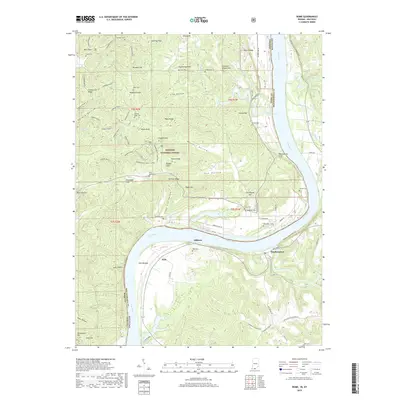
1970 Rome
Perry County, IN
1993 Branchville
Perry County, IN
1993 Bristow
Perry County, IN
1993 Derby
Perry County, IN
1993 Gatchel
Perry County, IN
1993 Rome
Perry County, IN
2010 Branchville
Perry County, IN
2010 Bristow
Perry County, IN
2010 Derby
Perry County, IN
2010 Gatchel
Perry County, IN
2010 Saint Meinrad
Perry County, IN
2011 Rome
Perry County, IN
2013 Branchville
Perry County, IN
2013 Bristow
Perry County, IN
2013 Derby
Perry County, IN
2013 Gatchel
Perry County, IN
2013 Rome
Perry County, IN
2013 Saint Meinrad
Perry County, IN
2016 Branchville
Perry County, IN
2016 Bristow
Perry County, IN
2016 Derby
Perry County, IN
2016 Gatchel
Perry County, IN
2016 Rome
Perry County, IN
2016 Saint Meinrad
Perry County, IN
2019 Branchville
Perry County, IN
2019 Bristow
Perry County, IN
2019 Derby
Perry County, IN
2019 Gatchel
Perry County, IN
2019 Rome
Perry County, IN
2019 Saint Meinrad
Perry County, IN
2022 Branchville
Perry County, IN
2022 Bristow
Perry County, IN
2022 Derby
Perry County, IN
2022 Gatchel
Perry County, IN
2022 Rome
Perry County, IN
2022 Saint Meinrad
Perry County, IN