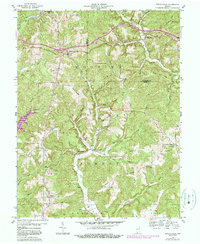
1958 Map of Branchville
USGS Topo · Published 1989About this map
Oil Creek carves a central path through this section of the Hoosier National Forest, where the complex topography of southern Indiana is defined by deep hollows and narrow ridges. Small, established communities like Branchville, Saint Croix, and Doolittle Mills serve as focal points in a landscape where transportation follows the winding contours of the land. The presence of numerous family and community burial grounds, such as Rickenbaugh Cem, Guillaume Cem, and Luxenburger Cem, suggests a long history of local settlement and genealogical depth throughout the Oil and Union townships.
Find a feature on this map
65 named features on this map. Tap any name to fly to it.
Don’t see what you’re looking for? This feature index may not catch every label — zoom into the map to look around manually.
Map Details
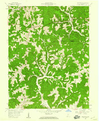
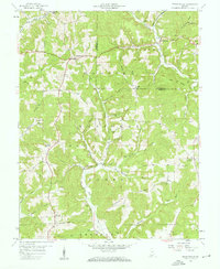
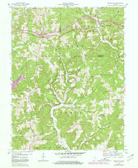
Editions of this 1958 Branchville Map
4 editions found
Other maps of this area

1950 · Beechwood
USGS Topo · 1:24,000

1950 · English
USGS Topo · 1:24,000

1950 · Alton
USGS Topo · 1:62,500

1950 · Alton
USGS Topo · 1:24,000

1951 · Alton
USGS Topo · 1:24,000

1954 · Derby
USGS Topo · 1:24,000

1956 · Taswell
USGS Topo · 1:24,000

1956 · Vincennes
USGS Topo · 1:250,000

1957 · Vincennes
USGS Topo · 1:250,000

1957 · Birdseye
USGS Topo · 1:24,000