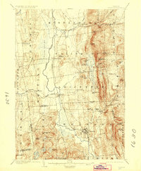
1904 Map of Brandon
USGS Topo · Published 1923About this map
Otter Creek meanders through the central valley of this early-century survey, dividing the lowlands of Cornwall and Whiting from the foothills of the Green Mountains. The landscape is defined by its water systems and the industrial corridor of the Rutland R. R., which connects settlements like Salisbury Sta. and Leicester Junction. In the east, the terrain rises sharply toward peaks such as Mt. Moosalamoo and Hogback Mt., sheltering high-altitude water bodies like Silver Lake and the prominent Lake Dunmore.
Find a feature on this map
68 named features on this map. Tap any name to fly to it.
Don’t see what you’re looking for? This feature index may not catch every label — zoom into the map to look around manually.
Map Details
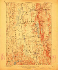
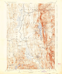
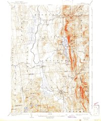
Editions of this 1904 Brandon Map
5 editions found

Other maps of this area

1891 · Rutland
USGS Topo · 1:62,500

1893 · Rutland
USGS Topo · 1:62,500

1893 · Whitehall
USGS Topo · 1:62,500

1894 · Port Henry
USGS Topo · 1:62,500

1894 · Ticonderoga
USGS Topo · 1:62,500

1895 · Whitehall
USGS Topo · 1:62,500

1895 · Castleton
USGS Topo · 1:62,500

1896 · Ticonderoga
USGS Topo · 1:62,500

1897 · Castleton
USGS Topo · 1:62,500

1898 · Whitehall
USGS Topo · 1:62,500