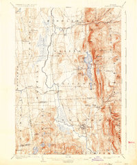
1904 Map of Brandon
USGS Topo · Published 1935About this map
Otter Creek serves as the central artery of this Vermont landscape, winding through a corridor of low-lying wetlands and the expansive Cedar Swamp west of the Green Mountain foothills. The rail-and-river economy of the early twentieth century is clearly visible, with the Rutland R. R. connecting key transfer points like Leicester Junction and Salisbury Sta. to the larger market. To the east, the terrain rises sharply toward Mt. Moosalamoo, sheltering recreational and industrial landmarks including Lake Dunmore and the Falls of Lana. The map captures the organized layout of the village of Brandon alongside the Neshobe River, a site of early manufacturing. Further south, the map details the transition into more rural townships, highlighting the presence of Hyde Manor and numerous scattered ponds like Silver Lake and Fern Lake that defined the region's early tourism and agrarian character.
Find a feature on this map
71 named features on this map. Tap any name to fly to it.
Don’t see what you’re looking for? This feature index may not catch every label — zoom into the map to look around manually.
Map Details
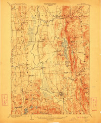
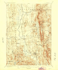
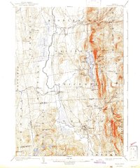
Editions of this 1904 Brandon Map
5 editions found

Other maps of this area

1891 · Rutland
USGS Topo · 1:62,500

1893 · Rutland
USGS Topo · 1:62,500

1893 · Whitehall
USGS Topo · 1:62,500

1894 · Port Henry
USGS Topo · 1:62,500

1894 · Ticonderoga
USGS Topo · 1:62,500

1895 · Whitehall
USGS Topo · 1:62,500

1895 · Castleton
USGS Topo · 1:62,500

1896 · Ticonderoga
USGS Topo · 1:62,500

1897 · Castleton
USGS Topo · 1:62,500

1898 · Whitehall
USGS Topo · 1:62,500