
1904 Map of Brandon
USGS Topo · Published 1904About this map
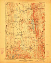
Otter Creek meanders through the central valley of this 1904 survey, defining the agricultural and industrial corridor between the Green Mountains and the western hills. The village of Brandon serves as a primary hub, showing a dense network of roads and the Rutland R.R. corridor that facilitated the region's marble and iron industries. To the north, the waters of Lake Dunmore are flanked by prominent peaks like Mt. Moosalamoo and Rattlesnake Point, while the presence of Hyde Manor near Sudbury points to the area's early 20th-century status as a destination for mineral spring tourism and summer retreats.
Find a feature on this map
68 named features on this map. Tap any name to fly to it.
Don’t see what you’re looking for? This feature index may not catch every label — zoom into the map to look around manually.
Map Details
Editions of this 1904 Brandon Map
5 editions found
Other maps of this area

1891 · Rutland
USGS Topo · 1:62,500

1893 · Rutland
USGS Topo · 1:62,500

1893 · Whitehall
USGS Topo · 1:62,500

1894 · Port Henry
USGS Topo · 1:62,500

1894 · Ticonderoga
USGS Topo · 1:62,500

1895 · Whitehall
USGS Topo · 1:62,500

1895 · Castleton
USGS Topo · 1:62,500

1896 · Ticonderoga
USGS Topo · 1:62,500

1897 · Castleton
USGS Topo · 1:62,500

1898 · Whitehall
USGS Topo · 1:62,500