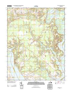
2013 Map of Brandon
USGS Topo · Published 2013About this map
Brandon and Lower Brandon anchor the southern reaches of this landscape where the James River defines the horizon. This 2013 survey illustrates the Tidewater region's intricate coastal geography, where the Chickahominy River meets the James at a confluence marked by Ferry Point and Gordon Island. The interior is defined by a network of creeks and necks, including Barrows Cr and Old Neck Cr, which separate scattered settlements and historic landholdings.
Find a feature on this map
44 named features on this map. Tap any name to fly to it.
Don’t see what you’re looking for? This feature index may not catch every label — zoom into the map to look around manually.
Map Details
Editions of this 2013 Brandon Map
This is the sole edition of this map. No revisions or reprints were ever made.
Other maps of this area
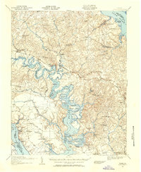
1917 · Toano
USGS Topo · 1:62,500
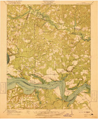
1918 · Charles City
USGS Topo · 1:62,500
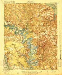
1918 · Toano
USGS Topo · 1:62,500
1919 · Surry
USGS Topo · 1:62,500
1919 · Disputanta
USGS Topo · 1:62,500
1943 · Savedge
USGS Topo · 1:31,680

1943 · Richmond
USGS Topo · 1:250,000
1949 · Richmond
USGS Topo · 1:250,000
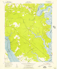
1952 · Brandon
USGS Topo · 1:24,000
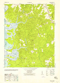
1952 · Norge
USGS Topo · 1:24,000