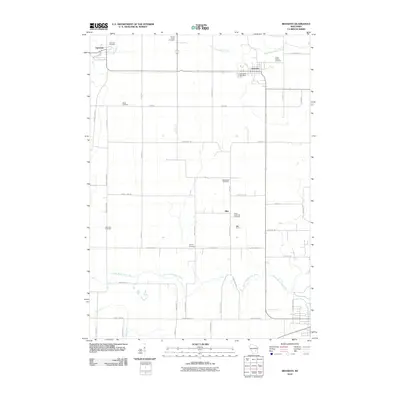
2010 Map of Brandon
USGS Topo · Published 2010About this map
Fairwater and Brandon anchor this agricultural landscape in Fond du Lac County, where the headwaters of several major regional river systems begin their descent. The Grand River flows through the northwest corner near Fairwater Cemetery, while the West Branch Rock River and South Branch Rock River carve paths through the central and southern sections. This area is characterized by its high density of small rural burial grounds, including Wood Cemetery, Oak Mound Cemetery, and Round Prairie Cemetery, which serve as quiet markers of the region’s early farmstead lineages.
Find a feature on this map
45 named features on this map. Tap any name to fly to it.
Don’t see what you’re looking for? This feature index may not catch every label — zoom into the map to look around manually.
Map Details
Editions of this 2010 Brandon Map
This is the sole edition of this map. No revisions or reprints were ever made.
Other maps of this area

1916 · Ripon
USGS Topo · 1:48,000

1918 · Ripon
USGS Topo · 1:62,500

1955 · Waupun
USGS Topo · 1:62,500

1955 · Fox Lake
USGS Topo · 1:62,500

1956 · Ripon
USGS Topo · 1:62,500

1956 · Rosendale
USGS Topo · 1:62,500

1957 · Madison
USGS Topo · 1:250,000

1960 · Madison
USGS Topo · 1:250,000

1975 · Waupun NW
USGS Topo · 1:24,000
1975 · Waupun SW
USGS Topo · 1:24,000