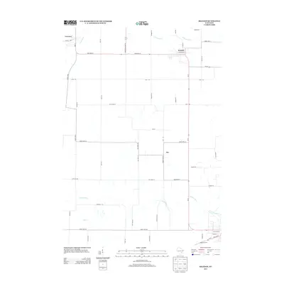
2013 Map of Brandon
USGS Topo · Published 2013About this map
Brandon and the surrounding agricultural landscapes of Fond du Lac County are captured here in a period of modern rural stability. The settlement pattern is defined by a rigid grid of local routes like Oak Grove Rd and Radio Rd, interspersed with established hamlets such as Alto. The hydrology of the region is notably complex, with the headwaters of multiple river systems originating or flowing through these fields. The W Br Rock River and S Br Rock River drain the eastern and southern portions of the quadrangle, while the Grand River and Alto Cr carve through the western reaches. In the northwest corner, the village of Fairwater sits along the Grand River, while the far southern edge includes the Waupun Airport, signaling the area's connection to wider regional transport networks.
Find a feature on this map
46 named features on this map. Tap any name to fly to it.
Don’t see what you’re looking for? This feature index may not catch every label — zoom into the map to look around manually.
Map Details
Editions of this 2013 Brandon Map
This is the sole edition of this map. No revisions or reprints were ever made.
Other maps of this area

1916 · Ripon
USGS Topo · 1:48,000

1918 · Ripon
USGS Topo · 1:62,500

1955 · Waupun
USGS Topo · 1:62,500

1955 · Fox Lake
USGS Topo · 1:62,500

1956 · Ripon
USGS Topo · 1:62,500

1956 · Rosendale
USGS Topo · 1:62,500

1957 · Madison
USGS Topo · 1:250,000

1960 · Madison
USGS Topo · 1:250,000

1975 · Waupun NW
USGS Topo · 1:24,000
1975 · Waupun SW
USGS Topo · 1:24,000