2022 Map of Brandon
USGS Topo · Published 2022About this map
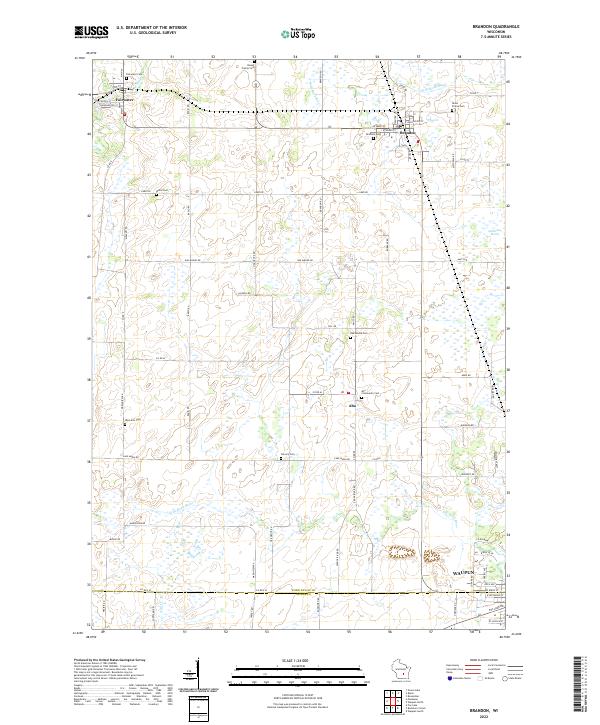
Brandon and Fairwater anchor this corner of Fond du Lac County, where the headwaters of the W Br Rock River and the Grand River originate from the surrounding marshlands. The landscape is defined by its small agricultural settlements and a dense distribution of rural burial grounds, reflecting the deep-rooted family lineages of the region. Notable sites such as Union Prairie Cem and Round Prairie Cem are situated on the periphery of the village centers, while Alto serves as a central point for the local community near the Calvary Cem. To the east, the Gallagher Marsh provides a distinct break in the grid of farm roads and section lines. The map also captures the northern edge of Waupun, marking the boundary transition into Dodge County along the S Br Rock River.
Find a feature on this map
74 named features on this map. Tap any name to fly to it.
Don’t see what you’re looking for? This feature index may not catch every label — zoom into the map to look around manually.
Map Details
Editions of this 2022 Brandon Map
This is the sole edition of this map. No revisions or reprints were ever made.