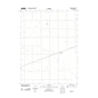
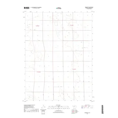
2021 Map of Brandon
USGS Topo · Published 2021About this map
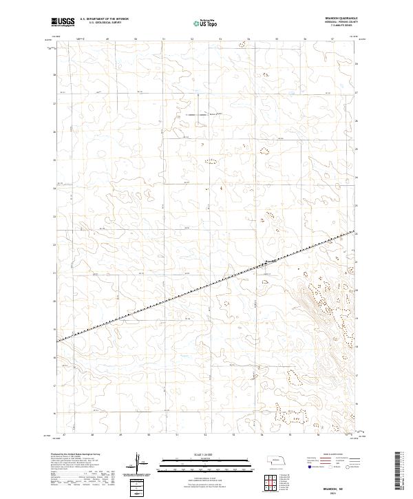
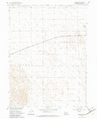
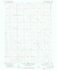
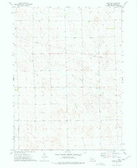
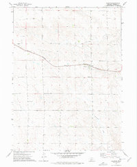
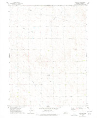
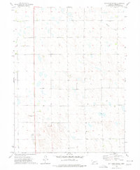
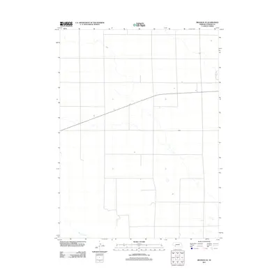
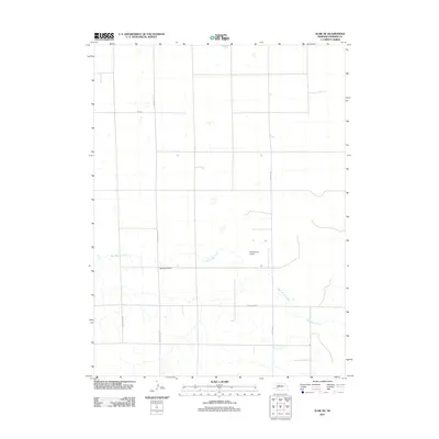
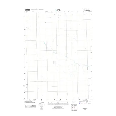
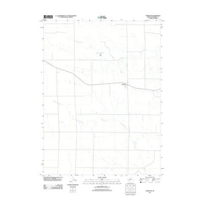
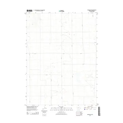
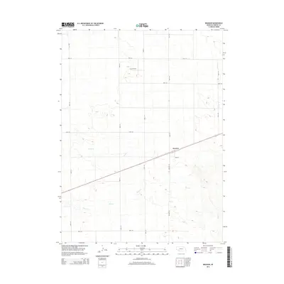
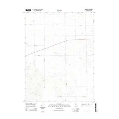
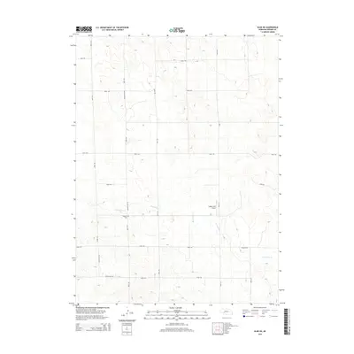
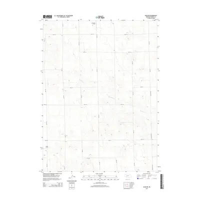
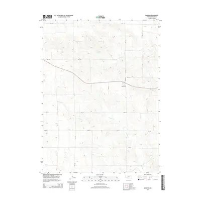
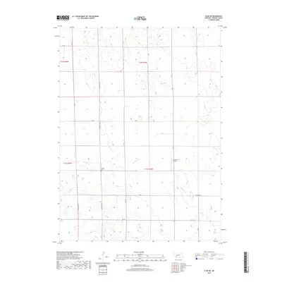
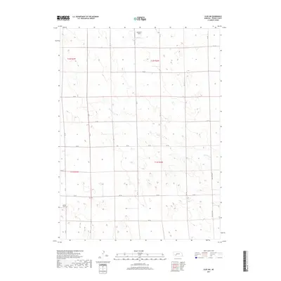
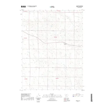
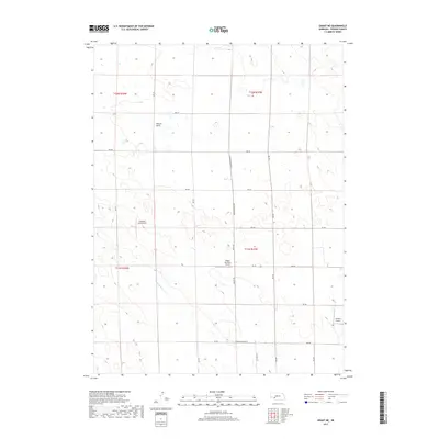
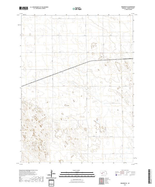
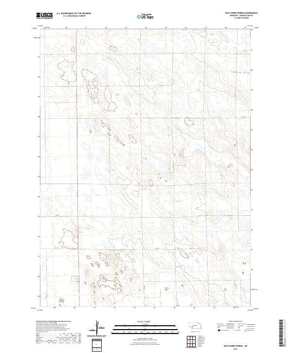
Brandon occupies a central position in this corner of Perkins County, defined by the steady geometry of a vast agricultural grid and the diagonal path of the railroad. The settlement is anchored by local landmarks like Burke St, while the surrounding landscape is marked by the intermittent course of Sand Cr and specialized facilities such as Kumor Airport. This 2021 survey reveals a territory meticulously partitioned into townships including t10n r41w and t10n r40w, where a network of section roads like Rd 761 and Rd 755 provides the primary infrastructure for the high plains farming economy. The presence of small drainage features and established road names offers a clear look at modern land use and rural connectivity in Western Nebraska.
Find a feature on this map
18 named features on this map. Tap any name to fly to it.
Don’t see what you’re looking for? This feature index may not catch every label — zoom into the map to look around manually.
Map Details
Editions of this 2021 Brandon Map
This is the sole edition of this map. No revisions or reprints were ever made.
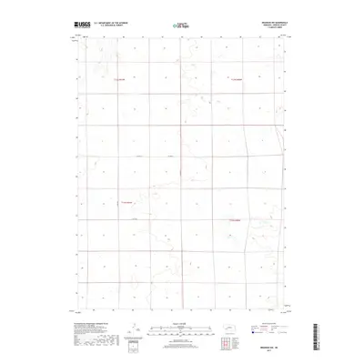
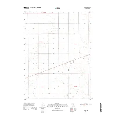
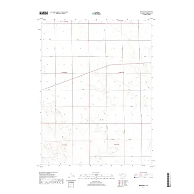
Historical Maps of Brandon Through Time
45 maps found
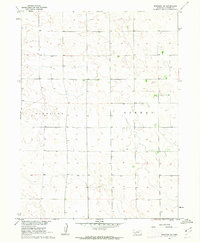
1961 Brandon NE
Perkins County, NE
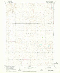
1961 Brandon NW
Perkins County, NE
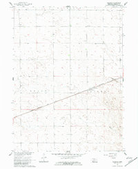
1961 Brandon
Perkins County, NE
1961 Brandon SE
Perkins County, NE
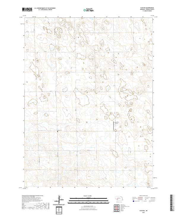
1973 Elsie NE
Perkins County, NE
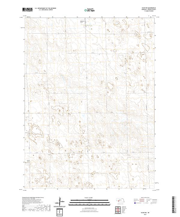
1973 Elsie NW
Perkins County, NE
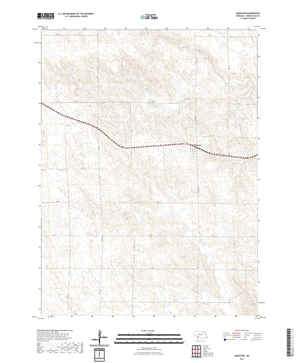
1973 Grainton
Perkins County, NE
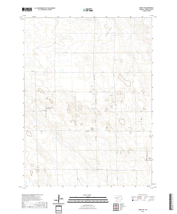
1973 Grant NE
Perkins County, NE
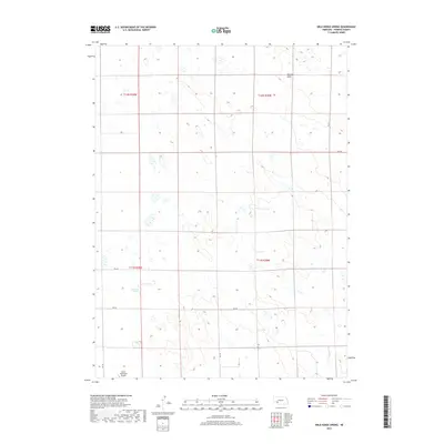
1973 Wild Horse Spring
Perkins County, NE
2011 Brandon NE
Perkins County, NE
2011 Brandon NW
Perkins County, NE
2011 Brandon
Perkins County, NE
2011 Brandon SE
Perkins County, NE
2011 Elsie NE
Perkins County, NE
2011 Elsie NW
Perkins County, NE
2011 Grainton
Perkins County, NE
2011 Grant NE
Perkins County, NE
2011 Wild Horse Spring
Perkins County, NE
2014 Brandon NE
Perkins County, NE
2014 Brandon NW
Perkins County, NE
2014 Brandon
Perkins County, NE
2014 Brandon SE
Perkins County, NE
2014 Elsie NE
Perkins County, NE
2014 Elsie NW
Perkins County, NE
2014 Grainton
Perkins County, NE
2014 Grant NE
Perkins County, NE
2014 Wild Horse Spring
Perkins County, NE
2017 Brandon NE
Perkins County, NE
2017 Brandon NW
Perkins County, NE
2017 Brandon
Perkins County, NE
2017 Brandon SE
Perkins County, NE
2017 Elsie NE
Perkins County, NE
2017 Elsie NW
Perkins County, NE
2017 Grainton
Perkins County, NE
2017 Grant NE
Perkins County, NE
2017 Wild Horse Spring
Perkins County, NE
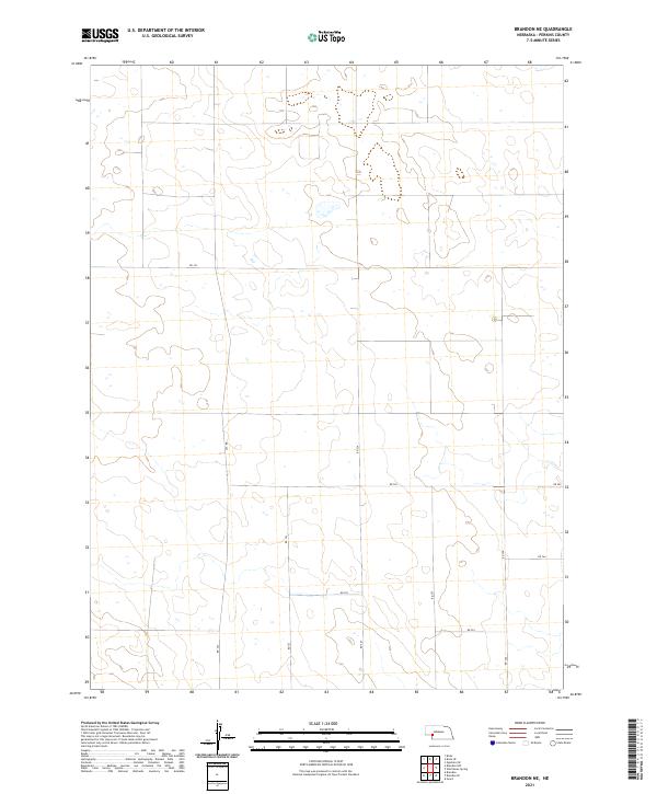
2021 Brandon NE
Perkins County, NE
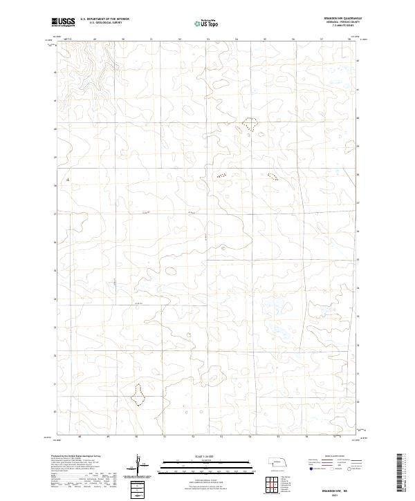
2021 Brandon NW
Perkins County, NE
2021 Brandon
Perkins County, NE
2021 Brandon SE
Perkins County, NE
2021 Elsie NE
Perkins County, NE
2021 Elsie NW
Perkins County, NE
2021 Grainton
Perkins County, NE
2021 Grant NE
Perkins County, NE
2021 Wild Horse Spring
Perkins County, NE