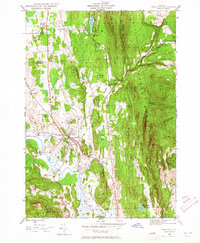
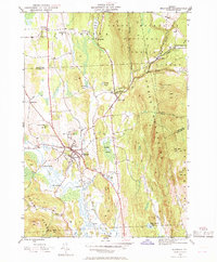
1946 Map of Brandon
USGS Topo · Published 1965About this map
Brandon serves as the central hub of this 1946 landscape, where the Neshobe River winds through the valley floor before meeting Otter Creek. The map documents a well-established rural infrastructure, featuring multiple educational sites like School No 1, School No 2, and the Brandon State Sch. To the east, the terrain rises sharply into the Green Mountain National Forest, where the settlement of Goshen sits high above the valley.
Find a feature on this map
51 named features on this map. Tap any name to fly to it.
Don’t see what you’re looking for? This feature index may not catch every label — zoom into the map to look around manually.
Map Details
Editions of this 1946 Brandon Map
6 editions found
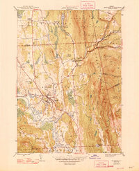
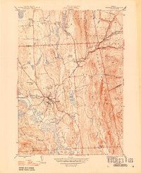
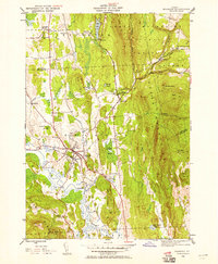

Other maps of this area

1891 · Rutland
USGS Topo · 1:62,500

1893 · Rutland
USGS Topo · 1:62,500

1895 · Castleton
USGS Topo · 1:62,500

1897 · Castleton
USGS Topo · 1:62,500

1902 · Brandon
USGS Topo · 1:62,500

1904 · Brandon
USGS Topo · 1:62,500

1915 · Rochester
USGS Topo · 1:62,500

1917 · Rochester
USGS Topo · 1:62,500

1920 · Brandon
USGS Topo · 1:62,500
1943 · Cornwall
USGS Topo · 1:31,680