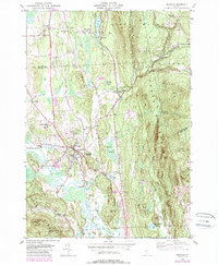
1946 Map of Brandon
USGS Topo · Published 1988About this map
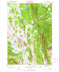
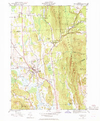
Otter Creek meanders through the lowlands west of Brandon, defining a landscape where valley agriculture meets the rising slopes of the Green Mountains. This mid-century survey, updated with late-1980s data, illustrates the transition from the developed village center to the wooded expanse of the Green Mountain National Forest. Cultural and civic landmarks are prominent, including the Brandon State Sch and local cemeteries like Brookside Cem.
Find a feature on this map
50 named features on this map. Tap any name to fly to it.
Don’t see what you’re looking for? This feature index may not catch every label — zoom into the map to look around manually.
Map Details
Editions of this 1946 Brandon Map
6 editions found
Other maps of this area

1891 · Rutland
USGS Topo · 1:62,500

1893 · Rutland
USGS Topo · 1:62,500

1895 · Castleton
USGS Topo · 1:62,500

1897 · Castleton
USGS Topo · 1:62,500

1902 · Brandon
USGS Topo · 1:62,500

1904 · Brandon
USGS Topo · 1:62,500

1915 · Rochester
USGS Topo · 1:62,500

1917 · Rochester
USGS Topo · 1:62,500

1920 · Brandon
USGS Topo · 1:62,500
1943 · Cornwall
USGS Topo · 1:31,680