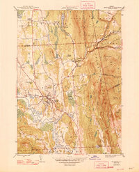
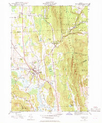
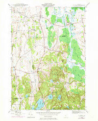
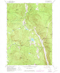
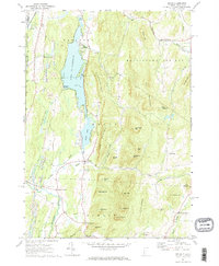
1946 Map of Brandon
USGS Topo · Published 1946This historical map portrays the area of Brandon in 1946, primarily covering Rutland County as well as portions of Addison County. Featuring a scale of 1:31680, this map provides a highly detailed snapshot of the terrain, roads, buildings, counties, and historical landmarks in the Brandon region at the time. Published in 1946, it is one of 6 known editions of this map due to revisions or reprints.
Find a feature on this map
56 named features on this map. Tap any name to fly to it.
Don’t see what you’re looking for? This feature index may not catch every label — zoom into the map to look around manually.
Map Details
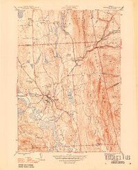
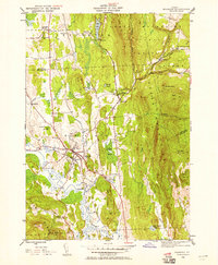
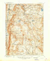
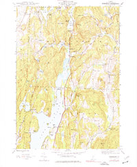
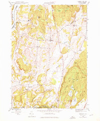
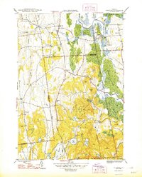
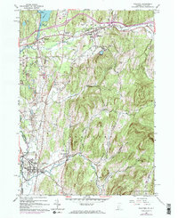
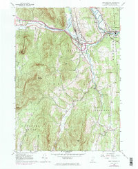
Editions of this 1946 Brandon Map
6 editions found
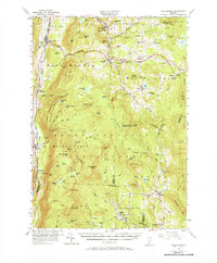
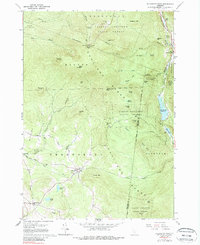
Historical Maps of Mount Pleasant Through Time
26 maps found
1893 Wallingford
Rutland County, VT

1895 Castleton
Rutland County, VT

1897 Castleton
Rutland County, VT
1944 Bomoseen
Rutland County, VT
1946 Benson
Rutland County, VT

1946 Brandon
Rutland County, VT
1946 Sudbury
Rutland County, VT

1948 Benson
Rutland County, VT
1948 Sudbury
Rutland County, VT
1955 Wallingford
Rutland County, VT
1961 Killington Peak
Rutland County, VT
1961 Pico Peak
Rutland County, VT
1964 Poultney
Rutland County, VT
1964 West Rutland
Rutland County, VT
1967 Dorset
Rutland County, VT
1967 Wells
Rutland County, VT

1970 Mount Carmel
Rutland County, VT
1986 Mount Holly
Rutland County, VT

1986 Wallingford
Rutland County, VT

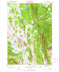
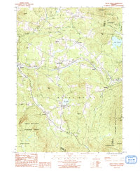
1997 Brandon
Rutland County, VT

1997 Dorset
Rutland County, VT

1997 Killington Peak
Rutland County, VT

1997 Mount Carmel
Rutland County, VT

1997 Mount Holly
Rutland County, VT

1997 Pico Peak
Rutland County, VT

1997 Wallingford
Rutland County, VT