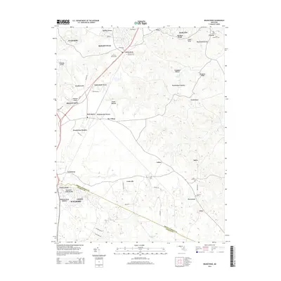
2014 Map of Brandywine
USGS Topo · Published 2014About this map
Brandywine and Clinton anchor this survey of southern Prince George's County, Maryland, where expanding residential developments meet legacy agricultural lands and significant memorial sites. The landscape is notably dense with historical burial grounds, including the large Cheltenham Veterans Cem and several smaller church-affiliated sites like Saint Thomas Cem and Church of the Atonement Cem near Cheltenham.
Find a feature on this map
60 named features on this map. Tap any name to fly to it.
Don’t see what you’re looking for? This feature index may not catch every label — zoom into the map to look around manually.
Map Details
Editions of this 2014 Brandywine Map
This is the sole edition of this map. No revisions or reprints were ever made.
Other maps of this area

1892 · Prince Frederick
USGS Topo · 1:62,500

1892 · Brandywine
USGS Topo · 1:62,500

1892 · Owensville
USGS Topo · 1:62,500

1895 · Prince Frederick
USGS Topo · 1:62,500

1895 · Brandywine
USGS Topo · 1:62,500

1895 · Owensville
USGS Topo · 1:62,500

1899 · Patuxent
USGS Topo · 1:125,000

1900 · Washington
USGS Topo · 1:62,500

1901 · Prince Frederick
USGS Topo · 1:62,500

1905 · Owensville
USGS Topo · 1:62,500