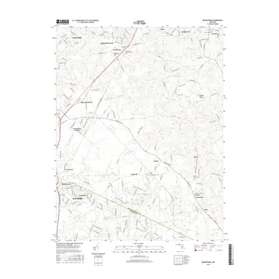
2016 Map of Brandywine
USGS Topo · Published 2016About this map
Rosaryville and Clinton anchor the northwestern portion of this Prince George's County landscape, which transitions into the wooded corridors of the Zekiah Swamp Run. The map documents a territory defined by its rural crossroads and institutional landmarks, notably the Cheltenham Veterans Cem and the Church of the Atonement Cem. To the south, the suburban expansion of Waldorf and Pinefield meets the natural boundaries of the Mattawoman Creek.
Find a feature on this map
163 named features on this map. Tap any name to fly to it.
Don’t see what you’re looking for? This feature index may not catch every label — zoom into the map to look around manually.
Map Details
Editions of this 2016 Brandywine Map
This is the sole edition of this map. No revisions or reprints were ever made.
Other maps of this area

1892 · Prince Frederick
USGS Topo · 1:62,500

1892 · Brandywine
USGS Topo · 1:62,500

1892 · Owensville
USGS Topo · 1:62,500

1895 · Prince Frederick
USGS Topo · 1:62,500

1895 · Brandywine
USGS Topo · 1:62,500

1895 · Owensville
USGS Topo · 1:62,500

1899 · Patuxent
USGS Topo · 1:125,000

1900 · Washington
USGS Topo · 1:62,500

1901 · Prince Frederick
USGS Topo · 1:62,500

1905 · Owensville
USGS Topo · 1:62,500