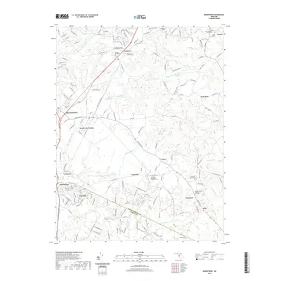
2019 Map of Brandywine
USGS Topo · Published 2019About this map
Brandywine and the surrounding Prince George’s County landscape appear here in a state of transition between established rural settlements and modern suburban growth. The area is defined by its deep historical roots, evidenced by numerous burial grounds such as Saint Thomas Episcopal Church Cem and the Maryland Veterans Cem. The southern reach of the map transitions into the drainage of Zekiah Swamp Run, where the terrain becomes more wooded and less developed. Many small communities like Horsehead, Cheltenham, and Ashbox anchor the local geography, often centered around their namesake churches and cemeteries. The boundary between Prince George's Co and Charles Co cuts through the lower portion of the sheet, near the headwaters of Mattawoman Cr. This survey documents a landscape where traditional Maryland crossroad settlements like Orme and Duley persist alongside newer residential expansions in Pinefield and Brandywine Heights.
Find a feature on this map
160 named features on this map. Tap any name to fly to it.
Don’t see what you’re looking for? This feature index may not catch every label — zoom into the map to look around manually.
Map Details
Editions of this 2019 Brandywine Map
This is the sole edition of this map. No revisions or reprints were ever made.
Other maps of this area

1892 · Prince Frederick
USGS Topo · 1:62,500

1892 · Brandywine
USGS Topo · 1:62,500

1892 · Owensville
USGS Topo · 1:62,500

1895 · Prince Frederick
USGS Topo · 1:62,500

1895 · Brandywine
USGS Topo · 1:62,500

1895 · Owensville
USGS Topo · 1:62,500

1899 · Patuxent
USGS Topo · 1:125,000

1900 · Washington
USGS Topo · 1:62,500

1901 · Prince Frederick
USGS Topo · 1:62,500

1905 · Owensville
USGS Topo · 1:62,500