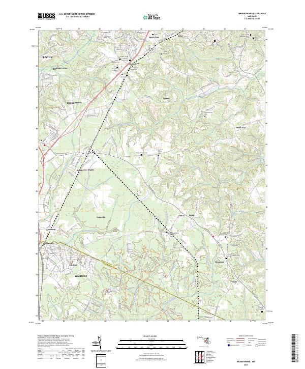
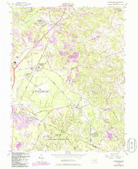
2023 Map of Brandywine
USGS Topo · Published 2023This historical map portrays the area of Brandywine in 2023, primarily covering Prince George's County as well as portions of Charles County. Featuring a scale of 1:24000, this map provides a highly detailed snapshot of the terrain, roads, buildings, counties, and historical landmarks in the Brandywine region at the time. Published in 2023, it is the sole known edition of this map.
Map Details
Editions of this 2023 Brandywine Map
This is the sole edition of this map. No revisions or reprints were ever made.
Historical Maps of West End Farms Through Time
8 maps found

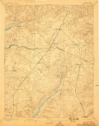
1892 Brandywine
Prince George's County, MD
1895 Brandywine
Prince George's County, MD

1911 Brandywine
Prince George's County, MD
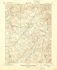
1913 Brandywine
Prince George's County, MD
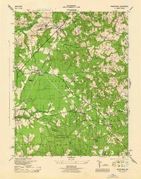
1944 Brandywine
Prince George's County, MD
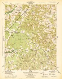
1945 Brandywine
Prince George's County, MD
1956 Brandywine
Prince George's County, MD
2023 Brandywine
Prince George's County, MD