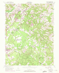
1956 Map of Brandywine
USGS Topo · Published 1971About this map
The Boys Village of Maryland and several strategic communications sites define the landscape south of the nation's capital during the mid-twentieth century. This survey reveals a region in transition, where the Penn Central rail line passes through rural communities like Cheltenham, Brandywine, and Baden. A significant portion of the southern map is dedicated to the Cedarville State Forest, crisscrossed by fire trails such as the Magnolia Trail and Bee Oak Trail.
Find a feature on this map
68 named features on this map. Tap any name to fly to it.
Don’t see what you’re looking for? This feature index may not catch every label — zoom into the map to look around manually.
Map Details
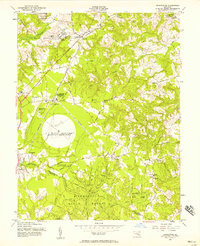
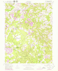
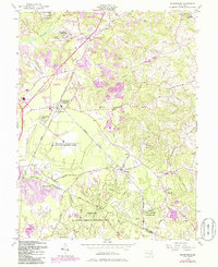
Editions of this 1956 Brandywine Map
4 editions found
Other maps of this area

1892 · Prince Frederick
USGS Topo · 1:62,500

1892 · Brandywine
USGS Topo · 1:62,500

1892 · Owensville
USGS Topo · 1:62,500

1895 · Prince Frederick
USGS Topo · 1:62,500

1895 · Brandywine
USGS Topo · 1:62,500

1895 · Owensville
USGS Topo · 1:62,500

1899 · Patuxent
USGS Topo · 1:125,000

1900 · Washington
USGS Topo · 1:62,500

1901 · Prince Frederick
USGS Topo · 1:62,500

1905 · Owensville
USGS Topo · 1:62,500