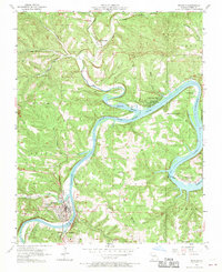
1956 Map of Branson
USGS Topo · Published 1970About this map
Lake Taneycomo meanders through the heart of this mid-century landscape, illustrating the early development of the Ozarks as a premier recreation destination. The White River corridor is punctuated by established resort communities including Rockaway Beach, Edgewater Beach, and Ozark Beach, reflecting the region's mid-century transition toward tourism. In the southwestern corner, the growing town of Branson sits across the water from Hollister, linked by the Missouri Pacific railroad. The map provides significant genealogical value for Taney County researchers, documenting rural social centers such as Mountain Grove School, Oak Grove Church, and Victor Church. Numerous family-named cemeteries like Renshaw Cemetery and Howard Cemetery are preserved on the sheet, while the northern terrain is defined by the drainages of Bull Creek and Bear Creek as they flow toward the main river valley.
Find a feature on this map
36 named features on this map. Tap any name to fly to it.
Don’t see what you’re looking for? This feature index may not catch every label — zoom into the map to look around manually.
Map Details
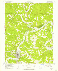
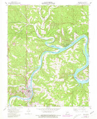
Editions of this 1956 Branson Map
3 editions found
Other maps of this area

1907 · Forsyth
USGS Topo · 1:125,000

1945 · Harrison
USGS Topo · 1:250,000

1949 · Harrison
USGS Topo · 1:250,000

1950 · Garber
USGS Topo · 1:24,000

1954 · Harrison
USGS Topo · 1:250,000

1955 · Garrison
USGS Topo · 1:24,000

1955 · Day
USGS Topo · 1:24,000

1956 · Table Rock Dam
USGS Topo · 1:24,000

1956 · Garber
USGS Topo · 1:24,000
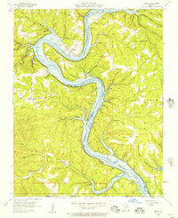
1956 · Mincy
USGS Topo · 1:24,000