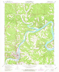
1956 Map of Branson
USGS Topo · Published 1981About this map
Lake Taneycomo dominates this mid-century landscape, winding between the burgeoning tourism centers of Branson and Hollister. Originally surveyed in 1956 and updated in 1981, the map captures the transition of the White River valley into a series of lakeside retreats, including Rockaway Beach, Long Beach, and Edgewater Beach. The infrastructure of the Missouri Pacific railroad runs parallel to the water, serving as a reminder of the earlier transportation network that predated the region's recreational boom.
Find a feature on this map
41 named features on this map. Tap any name to fly to it.
Don’t see what you’re looking for? This feature index may not catch every label — zoom into the map to look around manually.
Map Details
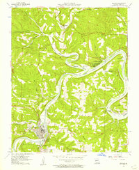
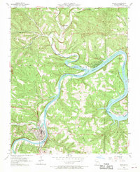
Editions of this 1956 Branson Map
3 editions found
Other maps of this area

1907 · Forsyth
USGS Topo · 1:125,000

1945 · Harrison
USGS Topo · 1:250,000

1949 · Harrison
USGS Topo · 1:250,000

1950 · Garber
USGS Topo · 1:24,000

1954 · Harrison
USGS Topo · 1:250,000

1955 · Garrison
USGS Topo · 1:24,000

1955 · Day
USGS Topo · 1:24,000

1956 · Table Rock Dam
USGS Topo · 1:24,000

1956 · Garber
USGS Topo · 1:24,000
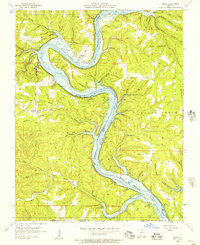
1956 · Mincy
USGS Topo · 1:24,000