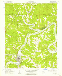
1956 Map of Branson
USGS Topo · Published 1957About this map
Lake Taneycomo dominates the winding geography of this 1950s survey, illustrating the area's development before the completion of Table Rock Dam. The White River transition into the lake defines the landscape, with Branson and Hollister appearing as established hubs connected by the Missouri Pacific railroad. Further north and east, the map details lakeside communities like Rockaway Beach, Long Beach, and Ozark Beach near the spillway. Notable local landmarks include the Drive-in Theater and Ozark Memorial Park south of Branson. Cultural sites such as Oak Grove Ch, Mountain Grove Sch, and several cemeteries including Renshaw Cem and Howard Cem provide valuable touchpoints for genealogists tracking family roots in the White River valley during the mid-century era.
Find a feature on this map
44 named features on this map. Tap any name to fly to it.
Don’t see what you’re looking for? This feature index may not catch every label — zoom into the map to look around manually.
Map Details
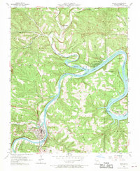
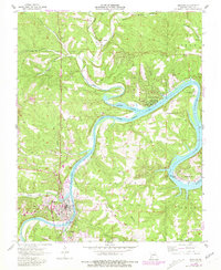
Editions of this 1956 Branson Map
3 editions found
Other maps of this area

1907 · Forsyth
USGS Topo · 1:125,000

1945 · Harrison
USGS Topo · 1:250,000

1949 · Harrison
USGS Topo · 1:250,000

1950 · Garber
USGS Topo · 1:24,000

1954 · Harrison
USGS Topo · 1:250,000

1955 · Garrison
USGS Topo · 1:24,000

1955 · Day
USGS Topo · 1:24,000

1956 · Table Rock Dam
USGS Topo · 1:24,000

1956 · Garber
USGS Topo · 1:24,000
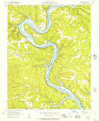
1956 · Mincy
USGS Topo · 1:24,000