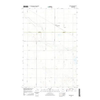
2014 Map of Brantford
USGS Topo · Published 2014About this map
Brantford stands as the primary settlement in this section of the Great Plains, situated along the Milan St Railroad Ave. This 2014 survey documents the landscape where Eddy and Foster Counties meet, a region defined by its wide agricultural grid and the winding path of the James River. The river cuts through the northern and central portions of the quadrangle, creating a riparian corridor amidst the surrounding prairie and sloughs. Genealogists and local historians will find the Brantford Cemetery noted just east of the main town site.
Find a feature on this map
22 named features on this map. Tap any name to fly to it.
Don’t see what you’re looking for? This feature index may not catch every label — zoom into the map to look around manually.
Map Details
Editions of this 2014 Brantford Map
This is the sole edition of this map. No revisions or reprints were ever made.
Other maps of this area

1900 · Pingree
USGS Topo · 1:125,000

1944 · Brantford
USGS Topo · 1:62,500

1946 · Brantford
USGS Topo · 1:62,500

1948 · New Rockford
USGS Topo · 1:62,500

1948 · Carrington
USGS Topo · 1:62,500

1949 · Grace City
USGS Topo · 1:24,000

1950 · Carrington East
USGS Topo · 1:24,000

1950 · New Rockford NE
USGS Topo · 1:24,000

1950 · Brantford NW
USGS Topo · 1:24,000

1950 · Grace City
USGS Topo · 1:24,000