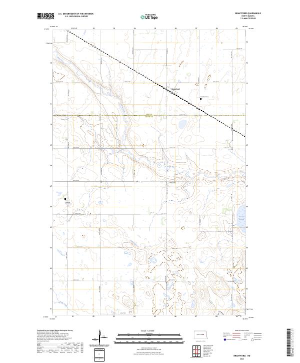
2024 Map of Brantford
USGS Topo · Published 2024About this map
The James River meanders through this section of the Northern Plains, defining the topography across the border of Eddy and Foster Counties. The settlement of Brantford sits along a diagonal corridor in the northeastern portion of the sheet, providing a central point for the surrounding agricultural grid. This area preserves several significant sites for genealogical research, including the Brantford Cemetery and the Kvernes Lutheran Church Cemetery located further south near the river valley. The landscape is characterized by its glacial hydrology, with drainage features like Kelly Creek and the marshy depression of Rusten Slough scattered among the section lines and township boundaries such as t147n r65w.
Find a feature on this map
30 named features on this map. Tap any name to fly to it.
Don’t see what you’re looking for? This feature index may not catch every label — zoom into the map to look around manually.
Map Details
Editions of this 2024 Brantford Map
This is the sole edition of this map. No revisions or reprints were ever made.
Other maps of this area

1900 · Pingree
USGS Topo · 1:125,000

1944 · Brantford
USGS Topo · 1:62,500

1946 · Brantford
USGS Topo · 1:62,500

1948 · New Rockford
USGS Topo · 1:62,500

1948 · Carrington
USGS Topo · 1:62,500

1949 · Grace City
USGS Topo · 1:24,000

1950 · Carrington East
USGS Topo · 1:24,000

1950 · New Rockford NE
USGS Topo · 1:24,000

1950 · Brantford NW
USGS Topo · 1:24,000

1950 · Grace City
USGS Topo · 1:24,000