
1950 Map of Brantford NE
USGS Topo · Published 1950About this map
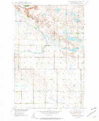
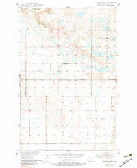
Tiffany Flats and the Columbia region define the open landscape of Eddy County in this mid-century survey, conducted as part of the Department of the Interior program for the development of the Missouri River Basin. The northern boundary of the map includes a portion of the Devils Lake Ind Res along the winding path of the Sheyenne River. The settlement pattern is typical of the era's rural school districts, with localized landmarks such as School No 3 and School No 1 serving the surrounding agricultural sections. The drainage of the land is visible through features like Robinson Coulee, which connects the prairie to more significant water bodies like Lake Washington and Cherry Lake on the eastern edge. A centrally located Town Hall serves as a reminder of the township's civic structure during this post-war period of Missouri River Basin development.
Find a feature on this map
12 named features on this map. Tap any name to fly to it.
Don’t see what you’re looking for? This feature index may not catch every label — zoom into the map to look around manually.
Map Details
Editions of this 1950 Brantford NE Map
3 editions found
Other maps of this area

1928 · Tokio
USGS Topo · 1:62,500

1930 · Hamar
USGS Topo · 1:62,500

1931 · Tokio
USGS Topo · 1:62,500

1944 · Brantford
USGS Topo · 1:62,500

1946 · Brantford
USGS Topo · 1:62,500

1949 · Grace City
USGS Topo · 1:24,000

1950 · Brantford NW
USGS Topo · 1:24,000

1950 · Grace City
USGS Topo · 1:24,000

1950 · Brantford
USGS Topo · 1:24,000
1950 · Tokio SW
USGS Topo · 1:24,000