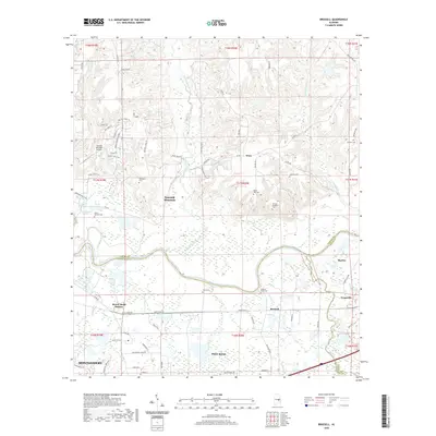
2020 Map of Brassell
USGS Topo · Published 2020About this map
Tallapoosa River meanders through the heart of this landscape, marking the boundary between Elmore, Macon, and Montgomery counties. This 2020 survey illustrates the modern residential developments of Emerald Mountain and the suburban reach of eastern Montgomery. The map captures a transitional geography where established settlements like Shorter and Tysonville meet newer infrastructure, including the Emerald Mountain Airport.
Find a feature on this map
83 named features on this map. Tap any name to fly to it.
Don’t see what you’re looking for? This feature index may not catch every label — zoom into the map to look around manually.
Map Details
Editions of this 2020 Brassell Map
This is the sole edition of this map. No revisions or reprints were ever made.
Other maps of this area

1901 · Wetumpka
USGS Topo · 1:125,000

1901 · Wetumpka
USGS Topo · 1:62,500

1903 · Wetumpka
USGS Topo · 1:125,000

1906 · Dadeville
USGS Topo · 1:125,000

1953 · Montgomery
USGS Topo · 1:250,000

1955 · Phenix City
USGS Topo · 1:250,000

1956 · Montgomery
USGS Topo · 1:250,000

1957 · Phenix City
USGS Topo · 1:250,000

1957 · Montgomery
USGS Topo · 1:250,000

1958 · Phenix City
USGS Topo · 1:250,000