
1957 Map of Brassua Lake
USGS Topo · Published 1961About this map
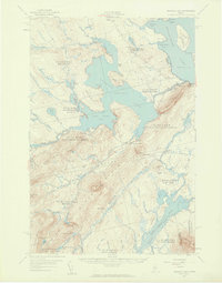
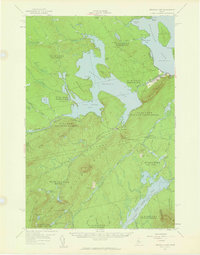
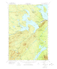
The Canadian Pacific railway cuts a distinct horizontal path through this section of the Maine North Woods, connecting remote outposts like Mackamp, Tarratine, and Somerset Junction. This mid-century revision of 1921 topography illustrates a landscape dominated by timber and water management, centered on the expansive Brassua Lake and its regulated outflow at the Brassua Dam. The village of Rockwood sits at the eastern edge where the Moose River enters Moosehead Lake, serving as a gateway for both industry and wilderness access. Local institutions such as St Josephs Ch, St Josephs Cem, and the Blaine Sch anchor the small community. Further south, the map records the isolated agricultural footprints of Cornish Farm and Milliken Farm set against the significant elevations of Misery Ridge and Williams Mtn.
Find a feature on this map
88 named features on this map. Tap any name to fly to it.
Don’t see what you’re looking for? This feature index may not catch every label — zoom into the map to look around manually.
Map Details
Editions of this 1957 Brassua Lake Map
5 editions found

Other maps of this area

1905 · The Forks
USGS Topo · 1:62,500

1907 · The Forks
USGS Topo · 1:62,500

1920 · Moosehead Lake
USGS Topo · 1:62,500

1921 · Brassua Lake
USGS Topo · 1:62,500

1922 · Moosehead Lake
USGS Topo · 1:62,500

1922 · Long Pond
USGS Topo · 1:62,500

1923 · Brassua Lake
USGS Topo · 1:62,500

1924 · Long Pond
USGS Topo · 1:62,500

1925 · Pierce Pond
USGS Topo · 1:48,000

1927 · Pierce Pond
USGS Topo · 1:62,500
Featured Places
- Misery Gore, ME
- Tomhegan Township, ME
- Sapling Township, ME
- Big Moose Township, ME
- Tarratine, Taunton & Raynham Academy Grant