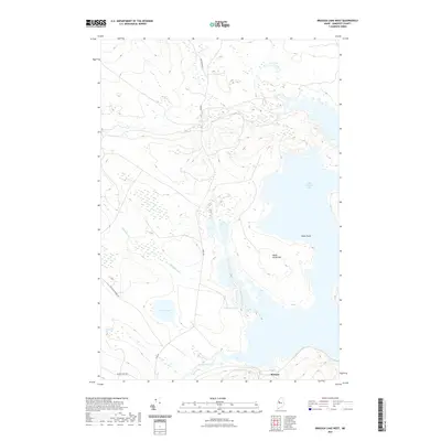
2021 Map of Brassua Lake West
USGS Topo · Published 2021About this map
Moose River flows through the southern reaches of this Maine landscape, feeding into the expansive waters of Little Brassua Lake. The settlement of Brassua sits near the river's entry point, serving as a focal point in a territory dominated by timberlands and intricate water systems. The map details a network of logging roads and trails, such as Demo Rd and New Stony Brook Rd, which cut through the dense woods toward the heights of Black Brook Hill. Inland water bodies like Roderique Pond, Demo Pond, and the secluded Leith Pond illustrate the glacial character of the Somerset County interior. To the southwest, the sprawling Fivemile Bog highlights the low-lying wetlands that define the drainage patterns of Johnson Brook and Black Brook as they move toward the main lake shore.
Find a feature on this map
14 named features on this map. Tap any name to fly to it.
Don’t see what you’re looking for? This feature index may not catch every label — zoom into the map to look around manually.
Map Details
Editions of this 2021 Brassua Lake West Map
This is the sole edition of this map. No revisions or reprints were ever made.
Other maps of this area

1921 · Brassua Lake
USGS Topo · 1:62,500

1922 · Long Pond
USGS Topo · 1:62,500

1923 · Brassua Lake
USGS Topo · 1:62,500

1924 · Long Pond
USGS Topo · 1:62,500

1944 · Brassua Lake
USGS Topo · 1:62,500

1944 · Long Pond
USGS Topo · 1:62,500

1949 · Jackman
USGS Topo · 1:250,000

1954 · Seboomook Lake
USGS Topo · 1:62,500

1954 · Millinocket
USGS Topo · 1:250,000

1956 · Penobscot Lake
USGS Topo · 1:62,500
Featured Places
- Brassua Township, ME
- Rockwood Strip T2 R1 NBKP, ME
- Brassua, Sandwich Academy Grant Township
- Tomhegan Township, ME
- Sandwich Academy Grant Township, ME