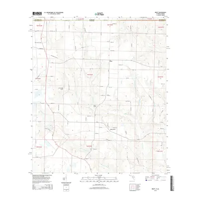
2015 Map of Bratt
USGS Topo · Published 2015About this map
Bratt and Oak Grove anchor this agricultural landscape along the shared border of Escambia County, Alabama, and Escambia County, Florida. The terrain is defined by a dense network of south-flowing waterways, including the winding Pine Barren Cr and its tributaries like Little Pine Barren Cr, Beaverdam Cr, and Breastworks Br. These streams have carved distinct geological features such as Little Sandy Hollow and Sandy Hollow into the coastal plain. In the northwest corner, Mike's Ag Air Airport highlights the area's continued reliance on aviation for large-scale farming operations. The map details an extensive grid of secondary routes like W State Line Rd and Pine Barren Church Rd, tracing the rural development and land use patterns that cross state lines in this Gulf Coast interior region.
Find a feature on this map
69 named features on this map. Tap any name to fly to it.
Don’t see what you’re looking for? This feature index may not catch every label — zoom into the map to look around manually.
Map Details
Editions of this 2015 Bratt Map
This is the sole edition of this map. No revisions or reprints were ever made.
Other maps of this area

1941 · Century
USGS Topo · 1:62,500

1942 · Perdido
USGS Topo · 1:62,500

1942 · Dyas
USGS Topo · 1:62,500

1943 · Century
USGS Topo · 1:62,500

1944 · Dyas
USGS Topo · 1:62,500

1944 · Perdido
USGS Topo · 1:62,500

1953 · Andalusia
USGS Topo · 1:250,000

1957 · Andalusia
USGS Topo · 1:250,000

1957 · Pensacola
USGS Topo · 1:250,000

1959 · Pensacola
USGS Topo · 1:250,000