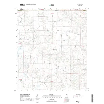
2018 Map of Bratt
USGS Topo · Published 2018About this map
Bratt and Oak Grove anchor this agricultural landscape along the northern edge of the Florida Panhandle, where the state boundary meets Alabama. The terrain is defined by a dense network of tributaries including Pine Barren Cr and Breastworks Br, which carve through the lowlands south of Atmore. This 2018 survey reveals a modern rural structure maintained by a grid of county roads such as Bratt Rd and Hwy 164, supporting the timber and farming industries central to Escambia County life. Aviation activity is noted at Mike's Ag Air Airport, reflecting the ongoing importance of crop dusting in the region. Further south, the settlement of Walnut Hill sits near the confluence of Little Pine Barren Cr, illustrating how historical community centers were often established on the higher ground between these winding waterways.
Find a feature on this map
93 named features on this map. Tap any name to fly to it.
Don’t see what you’re looking for? This feature index may not catch every label — zoom into the map to look around manually.
Map Details
Editions of this 2018 Bratt Map
This is the sole edition of this map. No revisions or reprints were ever made.
Other maps of this area

1941 · Century
USGS Topo · 1:62,500

1942 · Perdido
USGS Topo · 1:62,500

1942 · Dyas
USGS Topo · 1:62,500

1943 · Century
USGS Topo · 1:62,500

1944 · Dyas
USGS Topo · 1:62,500

1944 · Perdido
USGS Topo · 1:62,500

1953 · Andalusia
USGS Topo · 1:250,000

1957 · Andalusia
USGS Topo · 1:250,000

1957 · Pensacola
USGS Topo · 1:250,000

1959 · Pensacola
USGS Topo · 1:250,000