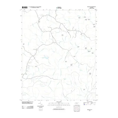
2010 Map of Brayton
USGS Topo · Published 2010About this map
Hendon Cemetery and Standifer Cemetery mark the enduring family history of this Tennessee landscape, where the plateau terrain is defined by deep hollows and narrow watercourses. The drainage of McGill Creek and Hall Creek carves through the region, while landmarks like The Backbone and Pitts Gap provide natural corridors through the ridges.
Find a feature on this map
71 named features on this map. Tap any name to fly to it.
Don’t see what you’re looking for? This feature index may not catch every label — zoom into the map to look around manually.
Map Details
Editions of this 2010 Brayton Map
This is the sole edition of this map. No revisions or reprints were ever made.
Other maps of this area

1888 · Chattanooga
USGS Topo · 1:125,000

1892 · Pikeville
USGS Topo · 1:125,000

1893 · Chattanooga
USGS Topo · 1:125,000

1895 · Pikeville
USGS Topo · 1:125,000

1909 · Sequatchie Valley
USGS Topo · 1:62,500

1910 · Pikeville
USGS Topo · 1:62,500

1935 · Morgan Springs
USGS Topo · 1:24,000

1935 · Soddy
USGS Topo · 1:24,000

1935 · Brockdell
USGS Topo · 1:24,000

1935 · Brayton
USGS Topo · 1:24,000