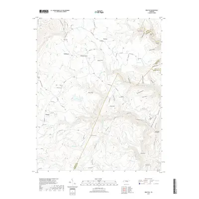
2019 Map of Brayton
USGS Topo · Published 2019About this map
Walden Ridge and the sharp rise of the Cumberland Escarpment dominate this portion of the plateau, where the borders of Bledsoe, Rhea, and Hamilton counties converge. Small settlements like Brayton, Hickory Grove, and Smithtown are tucked along the winding mountain roads, including Hendon Rd and Brayton Rd. The landscape is deeply incised by steep hollows and gorges, most notably at McGill Gulf and Rattlesnake Hollow, which shape the drainage for creeks like McGill Cr and Bee Cr.
Find a feature on this map
107 named features on this map. Tap any name to fly to it.
Don’t see what you’re looking for? This feature index may not catch every label — zoom into the map to look around manually.
Map Details
Editions of this 2019 Brayton Map
This is the sole edition of this map. No revisions or reprints were ever made.
Other maps of this area

1888 · Chattanooga
USGS Topo · 1:125,000

1892 · Pikeville
USGS Topo · 1:125,000

1893 · Chattanooga
USGS Topo · 1:125,000

1895 · Pikeville
USGS Topo · 1:125,000

1909 · Sequatchie Valley
USGS Topo · 1:62,500

1910 · Pikeville
USGS Topo · 1:62,500

1935 · Morgan Springs
USGS Topo · 1:24,000

1935 · Soddy
USGS Topo · 1:24,000

1935 · Brockdell
USGS Topo · 1:24,000

1935 · Brayton
USGS Topo · 1:24,000