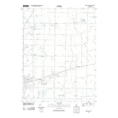
2010 Map of Brazil East
USGS Topo · Published 2010About this map
The eastern reaches of Brazil anchor this Clay County landscape, where the town's grid meets a collection of outlying mining and farming settlements. Moving east, a sequence of clustered communities including Donaldsonville, Knightsville, and Harmony follows the primary road corridor, reflecting the area's historical development along transport lines. To the north, smaller locales like Carbon, Pontiac, and Cardonia are interspersed among a dense network of country roads and small family cemeteries, such as the Pell Cemetery and Poff Cemetery.
Find a feature on this map
89 named features on this map. Tap any name to fly to it.
Don’t see what you’re looking for? This feature index may not catch every label — zoom into the map to look around manually.
Map Details
Editions of this 2010 Brazil East Map
This is the sole edition of this map. No revisions or reprints were ever made.
Other maps of this area

1908 · Clay City
USGS Topo · 1:48,000

1910 · Clay City
USGS Topo · 1:62,500

1950 · Brazil East
USGS Topo · 1:24,000

1950 · Brazil West
USGS Topo · 1:24,000

1951 · Clinton Falls
USGS Topo · 1:24,000

1951 · Mansfield
USGS Topo · 1:24,000

1952 · Catlin
USGS Topo · 1:24,000

1952 · Reelsville
USGS Topo · 1:24,000

1953 · Indianapolis
USGS Topo · 1:250,000

1956 · Indianapolis
USGS Topo · 1:250,000