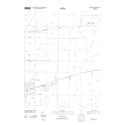
2013 Map of Brazil East
USGS Topo · Published 2013About this map
Brazil and its eastern neighbors are centered in a landscape defined by small settlements and an intricate drainage system feeding the White River watershed. The 2013 topography reveals a corridor of historical development stretching along the highway and rail lines, including Knightsville, Donaldsonville, and Harmony. To the north, the terrain is more rural, marked by the communities of Lena, Mechanicsburg, and Calcutta. This area is heavily dissected by watercourses like Otter Cr, Croys Cr, and Billy Cr, illustrating the dense hydrological network of Clay County. Notable landmarks include the Reinoehl Field Airport and several small bodies of water such as Alma Lake and Thomas Lake. The survey also details the local road network, from named village streets like E Railroad St to county routes that connect these historically distinct coal-country hamlets.
Find a feature on this map
124 named features on this map. Tap any name to fly to it.
Don’t see what you’re looking for? This feature index may not catch every label — zoom into the map to look around manually.
Map Details
Editions of this 2013 Brazil East Map
This is the sole edition of this map. No revisions or reprints were ever made.
Other maps of this area

1908 · Clay City
USGS Topo · 1:48,000

1910 · Clay City
USGS Topo · 1:62,500

1950 · Brazil East
USGS Topo · 1:24,000

1950 · Brazil West
USGS Topo · 1:24,000

1951 · Clinton Falls
USGS Topo · 1:24,000

1951 · Mansfield
USGS Topo · 1:24,000

1952 · Catlin
USGS Topo · 1:24,000

1952 · Reelsville
USGS Topo · 1:24,000

1953 · Indianapolis
USGS Topo · 1:250,000

1956 · Indianapolis
USGS Topo · 1:250,000