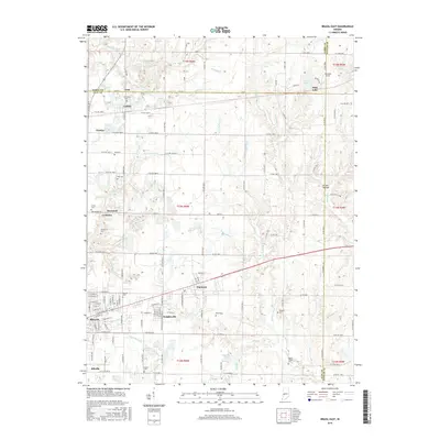
2016 Map of Brazil East
USGS Topo · Published 2016About this map
Brazil and its eastern neighbors are documented in this topographic study, revealing a landscape defined by small settlements and a dense network of country cemeteries. The industrial and residential growth along the rail-and-road corridor is evident through the proximity of Knightsville and Harmony, which sit just east of the main city center. Outside these hubs, the terrain is shaped by numerous small waterways, including Otter Cr, Billy Cr, and Croux Cr, many of which feed into local landmarks like Alma Lake and Risslers Lake.
Find a feature on this map
91 named features on this map. Tap any name to fly to it.
Don’t see what you’re looking for? This feature index may not catch every label — zoom into the map to look around manually.
Map Details
Editions of this 2016 Brazil East Map
This is the sole edition of this map. No revisions or reprints were ever made.
Other maps of this area

1908 · Clay City
USGS Topo · 1:48,000

1910 · Clay City
USGS Topo · 1:62,500

1950 · Brazil East
USGS Topo · 1:24,000

1950 · Brazil West
USGS Topo · 1:24,000

1951 · Clinton Falls
USGS Topo · 1:24,000

1951 · Mansfield
USGS Topo · 1:24,000

1952 · Catlin
USGS Topo · 1:24,000

1952 · Reelsville
USGS Topo · 1:24,000

1953 · Indianapolis
USGS Topo · 1:250,000

1956 · Indianapolis
USGS Topo · 1:250,000