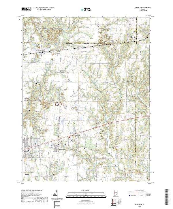
2022 Map of Brazil East
USGS Topo · Published 2022About this map
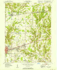
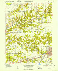
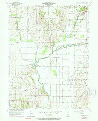
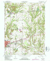
The Clay County Court House in Brazil serves as a central anchor for this Indiana landscape, where the town grid transitions into a network of smaller communities including Knightsville, Harmony, and Carbon. The area is defined by a dense arrangement of rural cemeteries such as Calcutta Cem, Pell Cem, and Wesley Chapel Cem, which offer significant value for genealogical research. Waterways like Otter Cr and Billy Cr wind through the terrain, while the northern edge is marked by the county line at Parke County. The proximity of small settlements like Cardonia, Benwood, and Billville suggests a history of localized labor and commerce, likely tied to the extraction industries common to this part of the Wabash Valley. The presence of Reinoehl Field and various church sites like Wesley Chapel further illustrates the social and infrastructure development of the Clay County interior.
Find a feature on this map
152 named features on this map. Tap any name to fly to it.
Don’t see what you’re looking for? This feature index may not catch every label — zoom into the map to look around manually.
Map Details
Editions of this 2022 Brazil East Map
This is the sole edition of this map. No revisions or reprints were ever made.
Historical Maps of Alma Lake Through Time
8 maps found