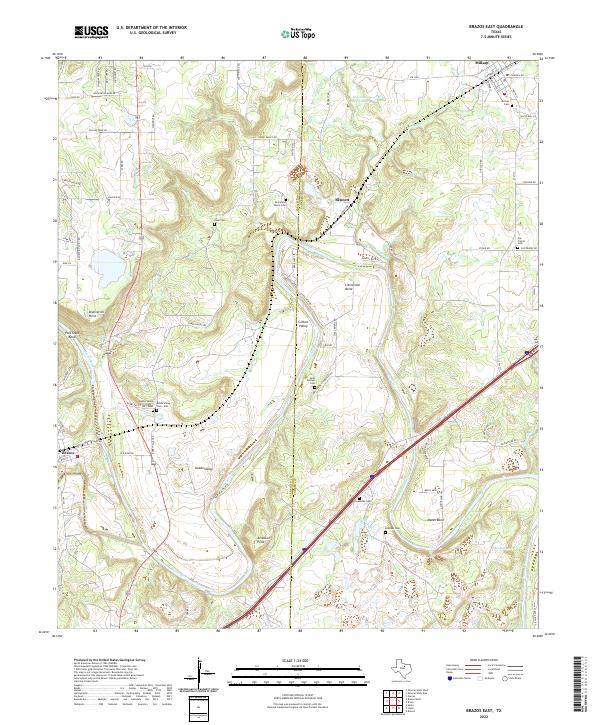
2022 Map of Brazos East
USGS Topo · Published 2022About this map
The Brazos River carves a winding path through the center of this landscape, defining the rural character of the region as it transitions between Palo Pinto Co and Parker Co. This area is characterized by dramatic river bends and points, such as Polk Stalk Bend, Littlefield Bend, and Arteburn Point, which have long dictated the placement of local settlements and roads. The town of Millsap sits in the northeast corner, while smaller communities like Bennett and Brazos are situated near the waterway and historical rail corridors.
Find a feature on this map
81 named features on this map. Tap any name to fly to it.
Don’t see what you’re looking for? This feature index may not catch every label — zoom into the map to look around manually.
Map Details
Editions of this 2022 Brazos East Map
This is the sole edition of this map. No revisions or reprints were ever made.
Historical Maps of Millsap Through Time
22 maps found

1924 Weatherford 3-d
Parker County, TX
1955 Springtown SE
Parker County, TX
1958 Chapin
Parker County, TX
1959 Adell
Parker County, TX
1959 Anneta
Parker County, TX
1959 Brock
Parker County, TX
1959 Lake Weatherford
Parker County, TX
1959 Poolville
Parker County, TX
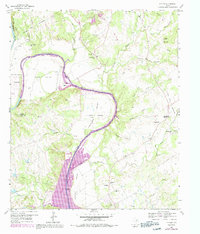
1959 Tin Top
Parker County, TX
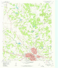
1959 Weatherford North
Parker County, TX
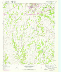
1959 Weatherford South
Parker County, TX
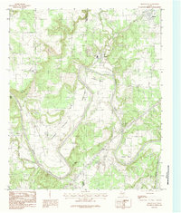
1984 Brazos East
Parker County, TX
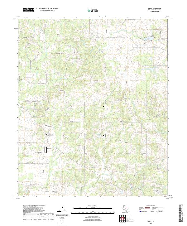
2022 Adell
Parker County, TX
2022 Brazos East
Parker County, TX
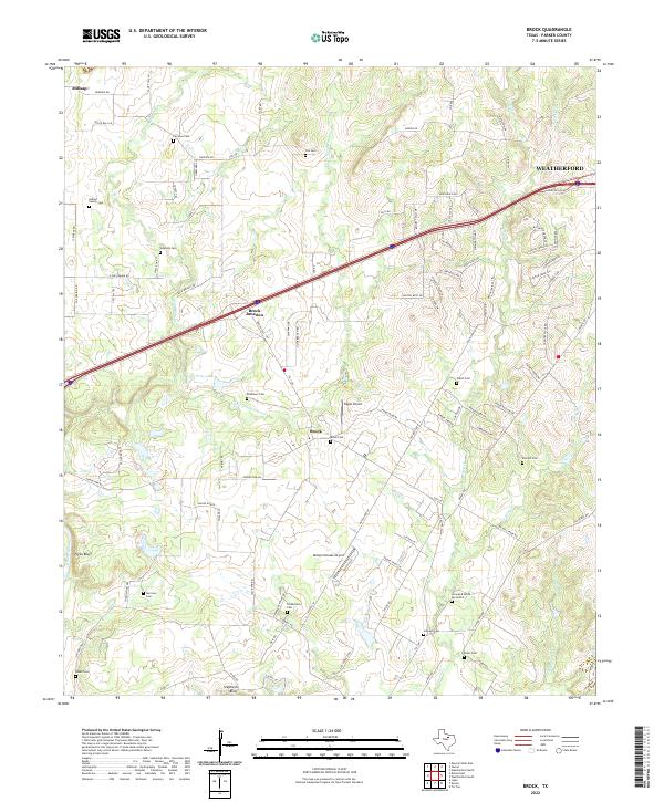
2022 Brock
Parker County, TX
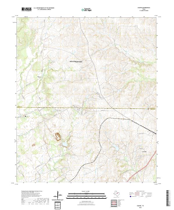
2022 Chapin
Parker County, TX
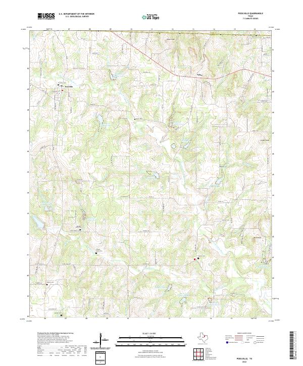
2022 Poolville
Parker County, TX
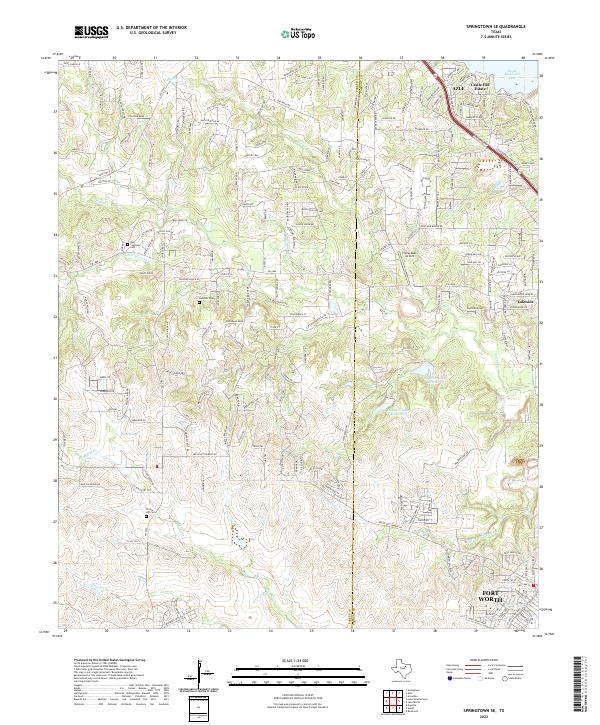
2022 Springtown SE
Parker County, TX
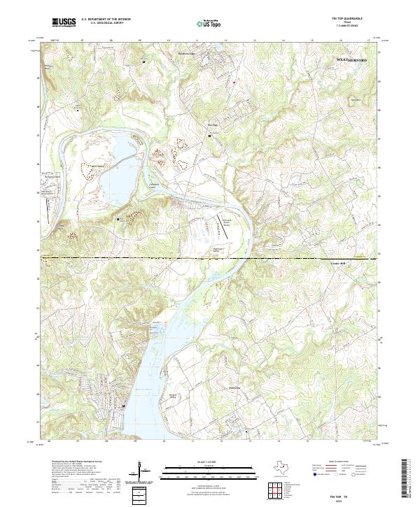
2022 Tin Top
Parker County, TX
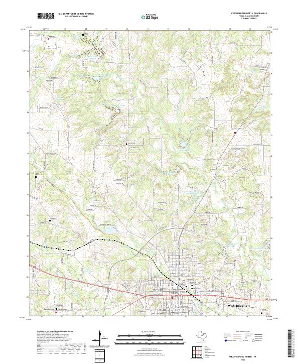
2022 Weatherford North
Parker County, TX
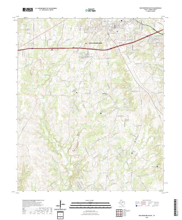
2022 Weatherford South
Parker County, TX
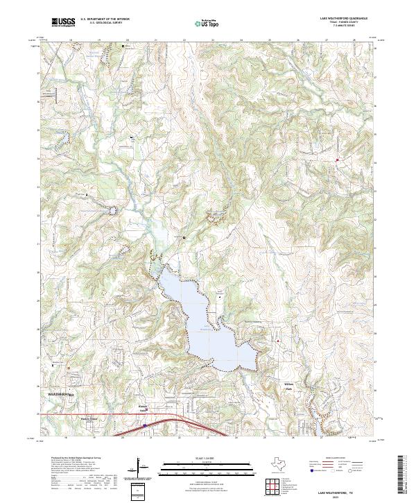
2023 Lake Weatherford
Parker County, TX