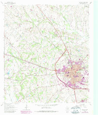
1963 Map of Brenham
USGS Topo · Published 1989About this map
Brenham dominates the landscape as it grew during the mid-to-late 20th century, with purple-tinted revisions showing its urban expansion toward the Athletic Field and Blinn College. This map documents a deeply established community in Washington County, evidenced by a dense concentration of historical burial grounds including Prairie Lea Cemetery, Calvary Cem, and the notable Yellow Fever Cem. To the northwest, the smaller settlements of Zionville and Berlin maintain their rural character, connected by a network of creeks like New Year Creek and Big Sandy Creek.
Find a feature on this map
48 named features on this map. Tap any name to fly to it.
Don’t see what you’re looking for? This feature index may not catch every label — zoom into the map to look around manually.
Map Details
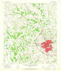
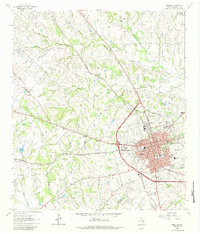
Editions of this 1963 Brenham Map
3 editions found
Other maps of this area

1914 · Gay Hill
USGS Topo · 1:62,500

1930 · Brenham
USGS Topo · 1:62,500

1954 · Austin
USGS Topo · 1:250,000

1956 · Brenham
USGS Topo · 1:62,500

1956 · Somerville
USGS Topo · 1:62,500

1958 · Greenvine
USGS Topo · 1:24,000

1958 · Burton
USGS Topo · 1:24,000

1959 · Gay Hill
USGS Topo · 1:24,000

1959 · Somerville
USGS Topo · 1:24,000

1959 · Independence
USGS Topo · 1:24,000