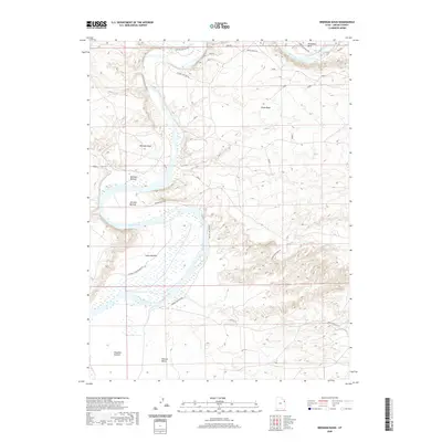
2020 Map of Brennan Basin
USGS Topo · Published 2020About this map
The Green River carves a serpentine path through this 2020 landscape in Uintah County, creating a series of distinct river bottoms that define the local topography. This portion of the Uinta Basin is dominated by the sprawling Ouray National Wildlife Refuge, which protects the vital riparian corridor and wetlands of the river valley. The map details the intricate bends of the waterway, including the prominent Horseshoe Bend and the broad floodplains of Leota Bottom and Brennan Bottom.
Find a feature on this map
14 named features on this map. Tap any name to fly to it.
Don’t see what you’re looking for? This feature index may not catch every label — zoom into the map to look around manually.
Map Details
Editions of this 2020 Brennan Basin Map
This is the sole edition of this map. No revisions or reprints were ever made.
Other maps of this area

1885 · Ashley
USGS Topo · 1:250,000

1907 · Jensen
USGS Topo · 1:125,000

1910 · Jensen
USGS Topo · 1:125,000

1917 · Vernal
USGS Topo · 1:125,000

1954 · Vernal
USGS Topo · 1:250,000

1958 · Vernal
USGS Topo · 1:250,000

1960 · Vernal
USGS Topo · 1:250,000

1964 · Brennan Basin
USGS Topo · 1:24,000
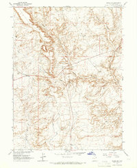
1964 · Vernal SW
USGS Topo · 1:24,000
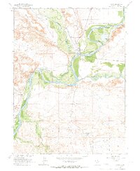
1964 · Ouray
USGS Topo · 1:24,000