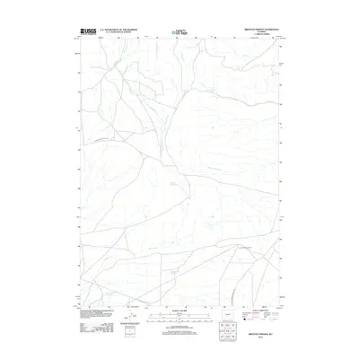
2012 Map of Brenton Springs
USGS Topo · Published 2012About this map
The East Antelope Gas Field highlights the industrial character of this Sweetwater County landscape, where energy extraction meets a network of vital water sources. The terrain is defined by a series of drainages, including W Arapahoe Cr, E Arapahoe Cr, and Maggie Cr, which converge to support man-made landmarks like Hadsell Reservoir and Cold Spring Reservoir. These water management features were critical for the arid sheep and cattle country of south-central Wyoming.
Find a feature on this map
15 named features on this map. Tap any name to fly to it.
Don’t see what you’re looking for? This feature index may not catch every label — zoom into the map to look around manually.
Map Details
Editions of this 2012 Brenton Springs Map
This is the sole edition of this map. No revisions or reprints were ever made.
Other maps of this area

1951 · Soap Holes
USGS Topo · 1:24,000

1951 · Crooks Creek NE
USGS Topo · 1:24,000

1951 · Crooks Mountain
USGS Topo · 1:24,000

1955 · Lander
USGS Topo · 1:250,000

1955 · Casper
USGS Topo · 1:250,000

1957 · Jeffrey City
USGS Topo · 1:24,000

1958 · Casper
USGS Topo · 1:250,000

1958 · Lander
USGS Topo · 1:250,000

1960 · Lost Creek Lake
USGS Topo · 1:62,500

1961 · Lander
USGS Topo · 1:250,000