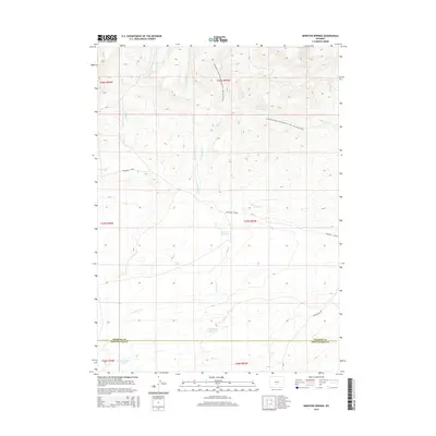
2015 Map of Brenton Springs
USGS Topo · Published 2015About this map
Brenton Springs marks a vital water source in the high desert of the Great Divide Basin, situated along the boundary of Fremont Co and Sweetwater Co. The landscape is defined by the winding Continental Divide National Scenic Trail, which traverses the northern ridges through areas like Mason Cr and Spring Cr. This region of Wyoming is characterized by its high-elevation drainage systems, where seasonal water flow is managed through several catchment points including Hadsell Reservoir and Cold Spring Reservoir. Transportation through this isolated terrain is limited to the Riverview Cutoff and the Crooks Gap Rd, illustrating the sparse infrastructure required for ranching and resource management in the basin's arid environment. The intricate network of intermittent streams like Arapahoe Cr and W Fork Crooks Cr shows the critical role of topography in directing precious runoff across these high plains.
Find a feature on this map
22 named features on this map. Tap any name to fly to it.
Don’t see what you’re looking for? This feature index may not catch every label — zoom into the map to look around manually.
Map Details
Editions of this 2015 Brenton Springs Map
This is the sole edition of this map. No revisions or reprints were ever made.
Other maps of this area

1951 · Soap Holes
USGS Topo · 1:24,000

1951 · Crooks Creek NE
USGS Topo · 1:24,000

1951 · Crooks Mountain
USGS Topo · 1:24,000

1955 · Lander
USGS Topo · 1:250,000

1955 · Casper
USGS Topo · 1:250,000

1957 · Jeffrey City
USGS Topo · 1:24,000

1958 · Casper
USGS Topo · 1:250,000

1958 · Lander
USGS Topo · 1:250,000

1960 · Lost Creek Lake
USGS Topo · 1:62,500

1961 · Lander
USGS Topo · 1:250,000