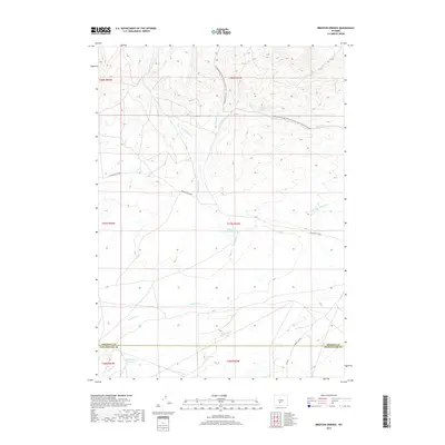
2017 Map of Brenton Springs
USGS Topo · Published 2017About this map
The high desert divide of Sweetwater and Fremont counties is defined by the Continental Divide National Scenic Trail: Wyoming Portion, which winds through a landscape sculpted by seasonal watercourses and human engineering. This 2017 survey shows a network of vital water management features in an arid environment, including Hadsell Reservoir, Cold Spring Reservoir, and Baby Antelope Reservoir. The presence of the Arapahoe Ditch and various branches of Arapahoe Creek, such as W Arapahoe Cr and E Arapahoe Cr, highlights the importance of water rights and irrigation in this part of Wyoming. Transportation is represented by the historically significant Riverview Cutoff and remote access points like Crooks Gap Rd, while the eponymous Brenton Springs marks a rare natural water source in the hills.
Find a feature on this map
24 named features on this map. Tap any name to fly to it.
Don’t see what you’re looking for? This feature index may not catch every label — zoom into the map to look around manually.
Map Details
Editions of this 2017 Brenton Springs Map
This is the sole edition of this map. No revisions or reprints were ever made.
Other maps of this area

1951 · Soap Holes
USGS Topo · 1:24,000

1951 · Crooks Creek NE
USGS Topo · 1:24,000

1951 · Crooks Mountain
USGS Topo · 1:24,000

1955 · Lander
USGS Topo · 1:250,000

1955 · Casper
USGS Topo · 1:250,000

1957 · Jeffrey City
USGS Topo · 1:24,000

1958 · Casper
USGS Topo · 1:250,000

1958 · Lander
USGS Topo · 1:250,000

1960 · Lost Creek Lake
USGS Topo · 1:62,500

1961 · Lander
USGS Topo · 1:250,000