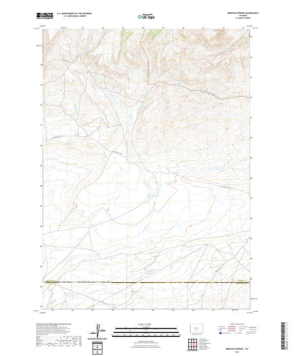
2021 Map of Brenton Springs
USGS Topo · Published 2021About this map
Brenton Springs marks a remote watering point in this high-altitude landscape of central Wyoming, situated just north of the border between Fremont and Sweetwater counties. The terrain is defined by its complex drainage network, where seasonal waterways like W Arapahoe Cr and E Arapahoe Cr descend from the upland slopes. Human intervention in this arid environment is visible through the Arapahoe Ditch and several livestock water sources, including Hadsell Reservoir and Cold Spring Reservoir. Modern recreation and transportation intersect here, as the Continental Divide National Scenic Trl winds through the northern sections while the Riverview Cutoff provides passage across the lower basins. The southern edge of the quadrangle descends toward the Baby Antelope Reservoir, illustrating the vital importance of water management in this high-desert ranching country.
Find a feature on this map
24 named features on this map. Tap any name to fly to it.
Don’t see what you’re looking for? This feature index may not catch every label — zoom into the map to look around manually.
Map Details
Editions of this 2021 Brenton Springs Map
This is the sole edition of this map. No revisions or reprints were ever made.
Other maps of this area

1951 · Soap Holes
USGS Topo · 1:24,000

1951 · Crooks Creek NE
USGS Topo · 1:24,000

1951 · Crooks Mountain
USGS Topo · 1:24,000

1955 · Lander
USGS Topo · 1:250,000

1955 · Casper
USGS Topo · 1:250,000

1957 · Jeffrey City
USGS Topo · 1:24,000

1958 · Casper
USGS Topo · 1:250,000

1958 · Lander
USGS Topo · 1:250,000

1960 · Lost Creek Lake
USGS Topo · 1:62,500

1961 · Lander
USGS Topo · 1:250,000