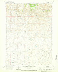
1961 Map of Brenton Springs
USGS Topo · Published 1966About this map
Brenton Springs marks a high point in this high-desert landscape, where the drainage networks of the Great Divide Basin meet the northern slopes of the Antelope Hills. The map captures a moment of mid-century industrial expansion in the Fremont Co Sweetwater Co borderlands, evidenced by the development of the Gas Field in the south and various prospects scattered across the northern ridges. Water management is a central theme of this 1960s survey, with the Arapahoe Ditch and several man-made impoundments like Hadsell Reservoir and Cold Spring Reservoir supporting local needs. The complex hydrology of the East West Arapahoe Creek and its tributaries, including Alkali Creek and Magpie Creek, illustrates how seasonal drainages were utilized in this arid region before later modern developments altered the surface landscape.
Find a feature on this map
17 named features on this map. Tap any name to fly to it.
Don’t see what you’re looking for? This feature index may not catch every label — zoom into the map to look around manually.
Map Details
Editions of this 1961 Brenton Springs Map
2 editions found
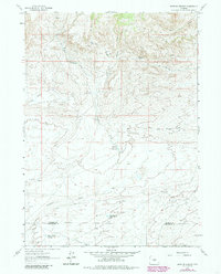
Other maps of this area

1951 · Soap Holes
USGS Topo · 1:24,000

1951 · Crooks Creek NE
USGS Topo · 1:24,000

1951 · Crooks Mountain
USGS Topo · 1:24,000

1955 · Lander
USGS Topo · 1:250,000

1955 · Casper
USGS Topo · 1:250,000

1957 · Jeffrey City
USGS Topo · 1:24,000

1958 · Casper
USGS Topo · 1:250,000

1958 · Lander
USGS Topo · 1:250,000

1960 · Lost Creek Lake
USGS Topo · 1:62,500

1961 · Lander
USGS Topo · 1:250,000