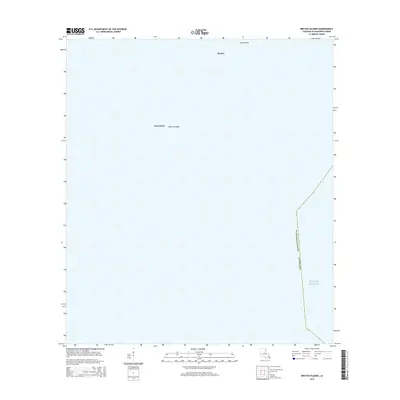
2015 Map of Breton Islands
USGS Topo · Published 2015About this map
Breton Islands stand as isolated landforms amidst the expanse of the Gulf of Mexico in this coastal survey of Plaquemines Parish. The map documents the specific geographic positions of Breton, North Point, and West Point, reflecting the precarious nature of these barrier features along the outer fringes of the Mississippi River delta. Because the terrain is entirely comprised of low-lying islands, the survey focuses on precise shoreline coordinates and the maritime boundary that separates these gulf waters from the territorial reaches of Louisiana.
Find a feature on this map
6 named features on this map. Tap any name to fly to it.
Don’t see what you’re looking for? This feature index may not catch every label — zoom into the map to look around manually.
Map Details
Editions of this 2015 Breton Islands Map
This is the sole edition of this map. No revisions or reprints were ever made.
Other maps of this area

1893 · La Fortuna
USGS Topo · 1:62,500

1893 · Forts
USGS Topo · 1:62,500

1935 · Taylor Pass
USGS Topo · 1:31,680

1947 · Venice
USGS Topo · 1:31,680

1947 · Main Pass
USGS Topo · 1:31,680

1948 · Forts
USGS Topo · 1:62,500
1950 · Breton Islands
USGS Topo · 1:24,000

1953 · Breton Island
USGS Topo · 1:62,500
1954 · Venice
USGS Topo · 1:31,680
1954 · Taylor Pass
USGS Topo · 1:31,680